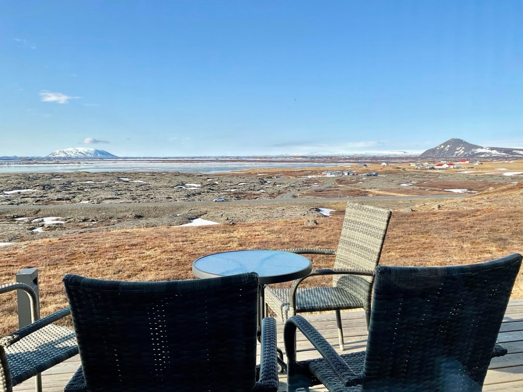
We stayed at another Fosshotel near Mývatn, a shallow lake surrounded by an area of active volcanism. Here’s the view from the hotel looking across the lake.
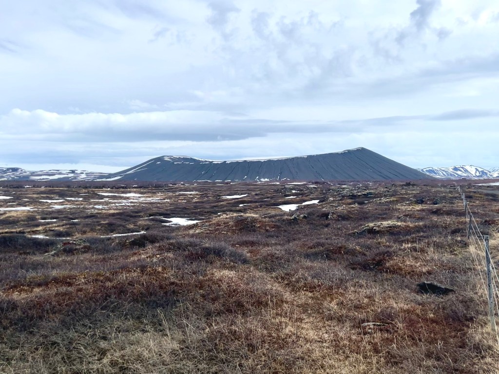
Our main purpose for stopping at Mývatn was to hike the Hverfjall caldera (elev. 1,437 ft.), a fairly symmetrical crater left by an exploding volcano about 2,500 years ago. That’s it, below, from a distance:
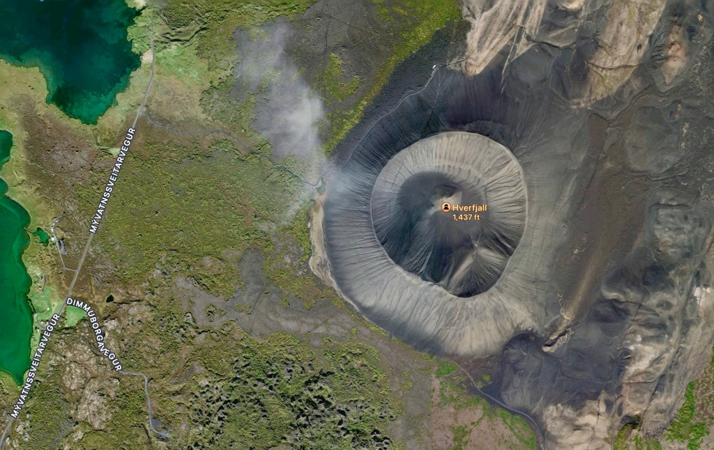
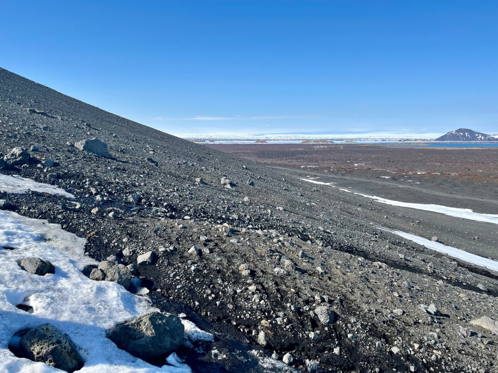
Here’s an aerial view with the edge of the lake on the left:
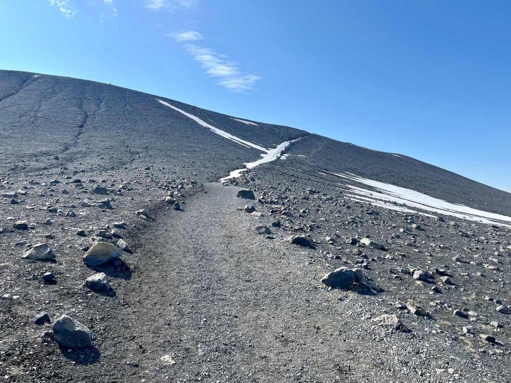
It’s a fairly steep climb up to the rim, probably around a 10° slope most of the way, but perhaps as steep as 15° in a few places. The slope inside the volcano is about twice as steep, varying between 20° and 30°.
As we neared the top, I took this photo of the parking lot, our starting point, and another volcanic mountain in the distance, Hlíðarfjall (elev. 2,530 ft.).
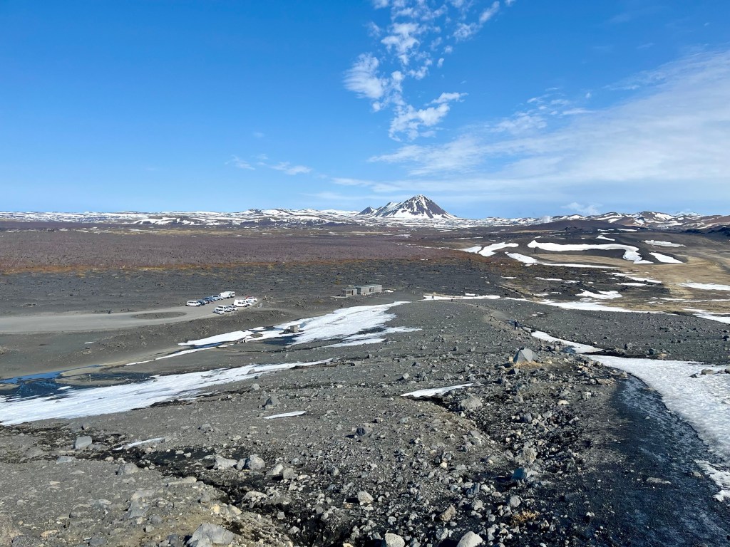
To the southeast, below us, was a lava field (the brownish rock), left by the explosion of Hverfjall.
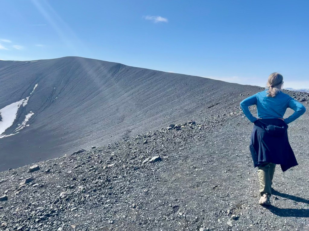
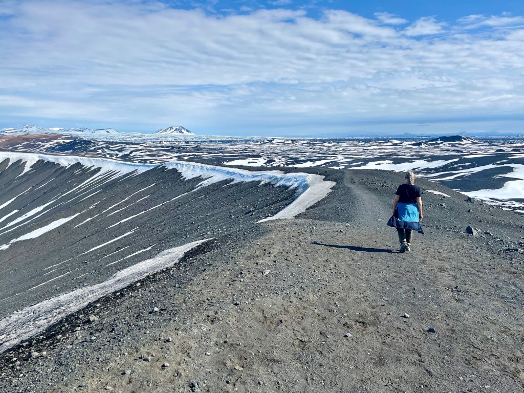
We thought the climb was over when we reached the rim where we could look down into the crater…

… wrong. More to go.
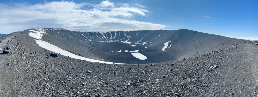
About halfway around, I took this panoramic photo:
Finally, the summit!

The crater is one kilometer in diameter, about 0.6 mile, and the hike around the circumference is two miles long. Total elevation gain from the parking lot is 660 feet.

Time to head back down.
The day is yet young.
