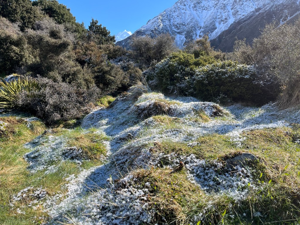
Our decision to switch our hiking days paid off. Yesterday’s cold front passed through after dropping about six inches of snow in the valley, leaving the air crisp and clear, and the termperature hovering around freezing.
We drove over to the trailhead for the Hooker Valley Track, a 10 km return hike (6.2 miles, round-trip). Just like the day before, the ground and low shrubs were covered with ice crystals and frost.
To our left as we hiked in was the mountain known as the Footstool (9,068 feet), the highest peak in the Aroarokaehe Range which divides the Southern Alps.
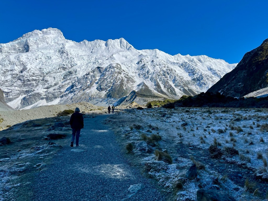
The path in is improved to accommodate the high volume of tourists that come to make the trek.
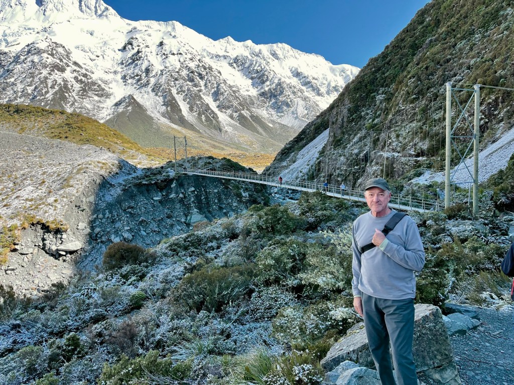
A little over a a half-mile from the trailhead, we reached the first “swing bridge” over the Hooker River which flows south from Hooker Lake, the glacial terminal lake at the base of Mount Cook.

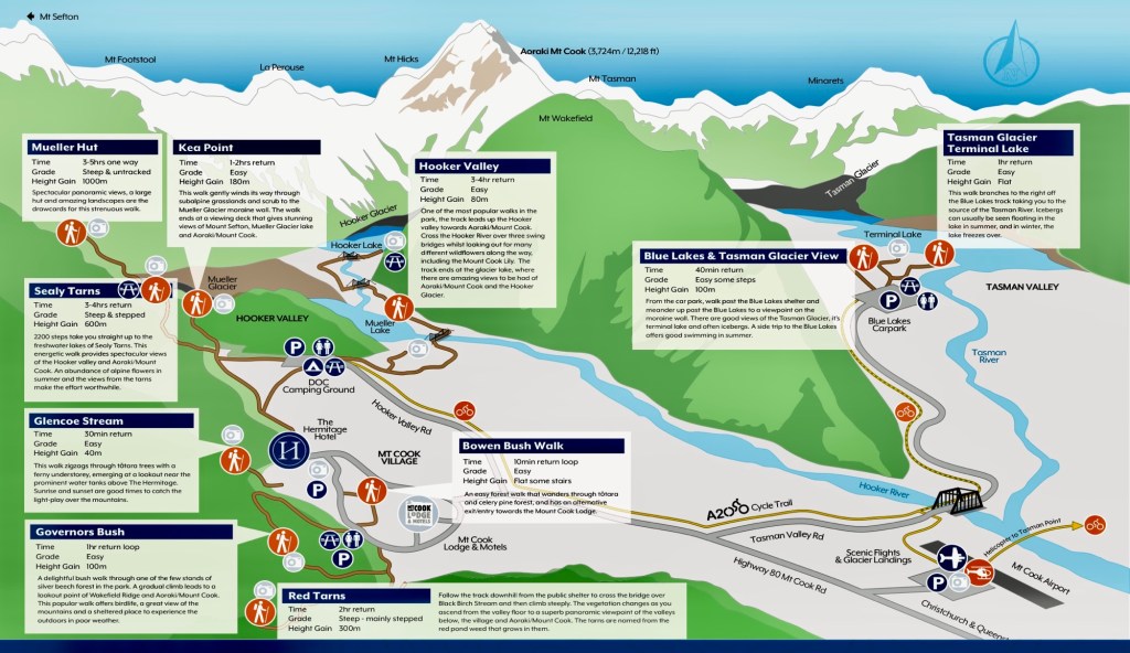
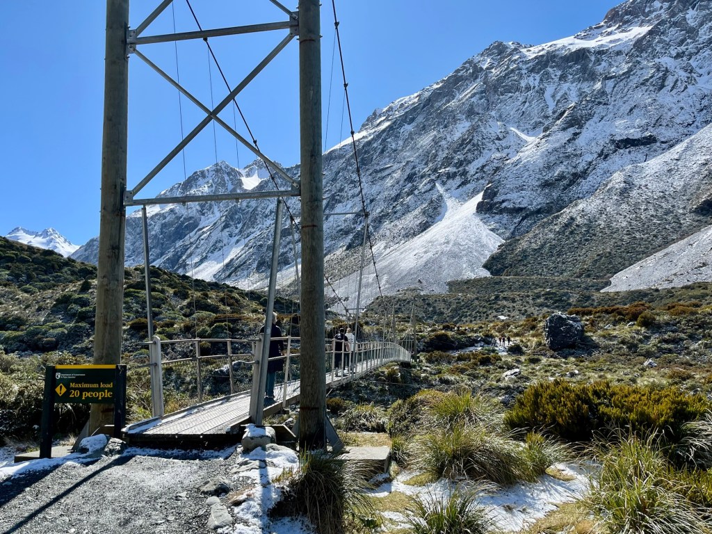
The map below shows the location of the three swing bridges that have to be crossed to reach Hooker Lake. All three traverse the Hooker River.
The opposite bank was shaded by the adjacent mountains, so we kept our down jackets on as we walked by the snow from the night before.
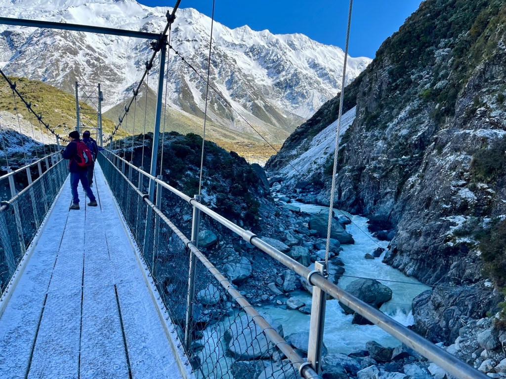
The second swing bridge is a about a mile from the first and crosses a much longer and deeper gorge cut by the river.
I understood why they call these “swing” bridges when I crossed this one, swaying and bouncing along.
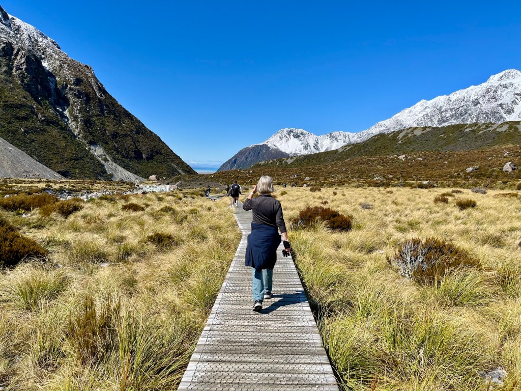
On the other side, the valley opens up.
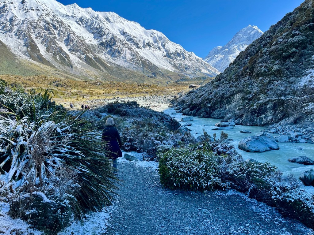
It was nice to be out in the sunshine. Off came the down jackets and gloves. A good part of the open valley is crossed on a boardwalk because the ground is somewhat marshy.

The second swing bridge is also about a mile from the third.
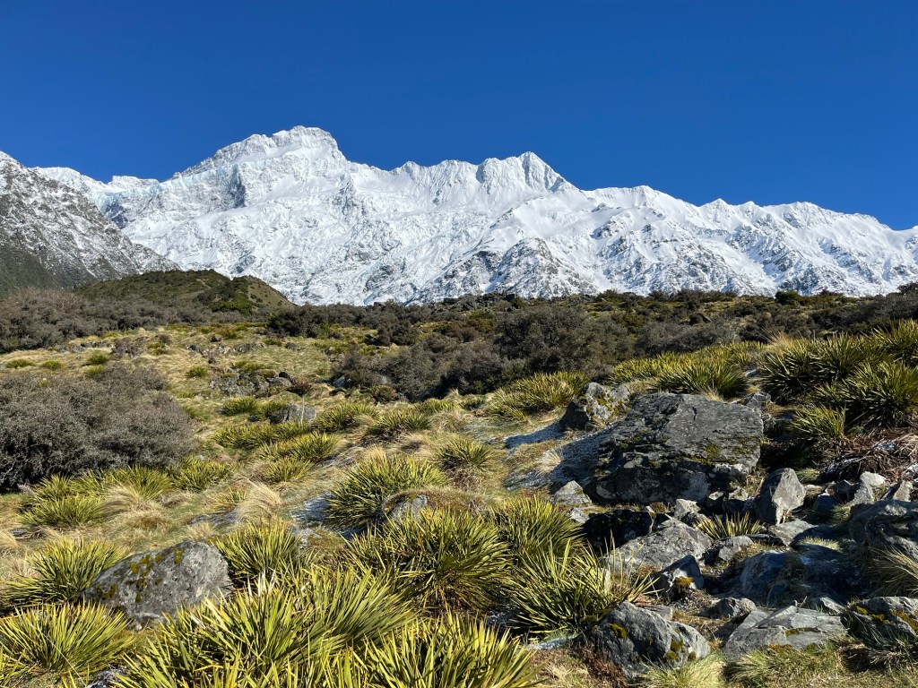
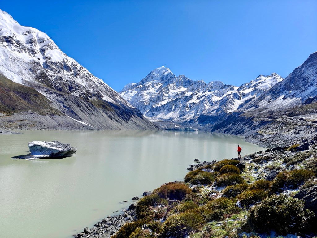
The final leg, about 3/4 mile, took us up and over the terminal moraine of Hooker Glacier. Mount Cook had been visible since we left the second swing bridge. Dale is pointing it out in the photo below,

That’s Mount Cook in the center of this photo, taken from the picnic area at the top of the moraine.
An here’s a better, closer view.
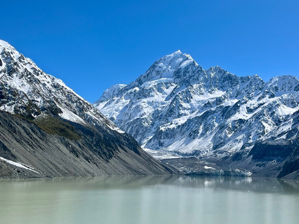
We stayed to marvel for a while, wondering what would possess someone to try to climb to the top of that massif. “Because it’s there,” just doesn’t do it for me.
Returning to the car over the boardwalk through the valley, we could just make out our hotel in the distance.
But we didn’t return there. We had already packed the car and checked out. We had a long drive ahead of us, needing to get to Christchurch by 6:00 p.m. in order to turn in our rental car and check into the Novatel airport hotel and have dinner.
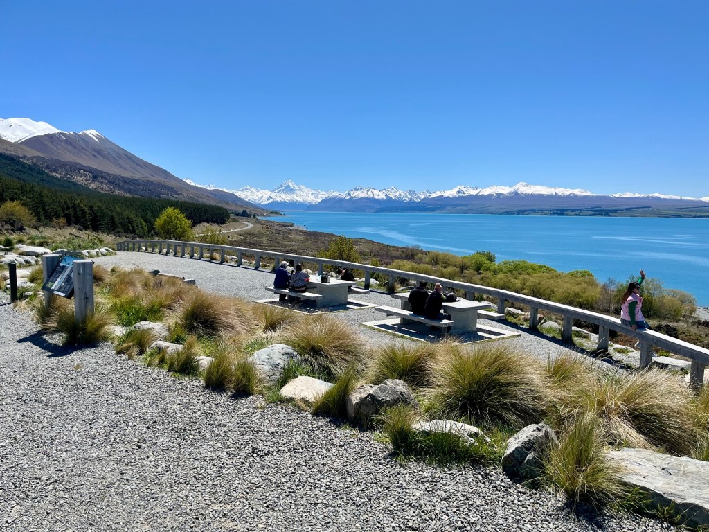
Here’s the view looking back over Lake Pukaki at the Southern Alps as we drove away.
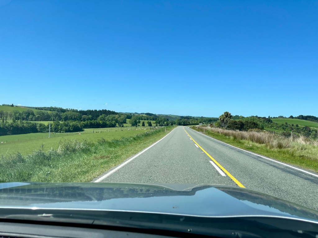
And this is what it looked like in the middle of the South Island as we made our way to Christchurch, the airport and home.
It was a great trip, from tropical islands to mountain tops.
But it’s time to get back to America. Tomorrow is a big day there, Election Day.
