Sunday morning we left Samarkand and drove to the Jartepa border crossing between Uzbekistan and Tajikistan. I didn’t know what to expect.
When the Soviet Union invaded and took over Central Asia in the 1920s, it ostensibly drew the boundaries of the then Soviet Republics of Uzbekistan, Tajikistan and Kyrgyzstan based on ethnicity. The result was an entanglement of the three republics. Some historians have surmised that the real intent of the Soviet planners was to map the borders in a way that would create disunity in order to quell local insurgency.
Boundaries didn’t really matter to the local population that much at the time because everyone was a citizen of the U.S.S.R., the Union of Soviet Socialists Republics, and borders between the republics could be crossed at will.
But now these are independent nations and borders – as we have recently discovered in the U.S.A. – matter.

Consequently, since the breakup of the Soviet Union in 1991, Uzbekistan, Tajikistan and neighboring Kyrgyzstan have had a number of border clashes, some resulting in bloodshed. Fortunately, since 2019, treaties fixing the borders have been signed between the three countries and it seems that such quarrels are now a thing of the past.
You might have noticed from the map, above, that Tajikistan and Kyrgystan are mostly mountainous, whereas Uzbekistan is predominantly flat with fertile land between the rivers that flow down from the mountains, the Syr Darya and the Amu Darya. This geographical distinction has led to other differences between these countries.
Foremost, Uzbekistan has a denser urban population (pop. ~30 million) compared to Tajikistan (pop. ~9 million) and Kyrgyzstan (pop. ~6 million) which are rural with many people living in isolated villages. And there are few jobs available in the mountains, so most working-age men in the latter two countries go to Russia for employment, sending their earnings home for the support of their families.
While border conflicts between these countries no longer occur, it does not necessarily follow that crossing over is without controversy.

Upon arrival, we entered a packed customs and immigration office and cued up to go through the single door to the hallway housing the metal detector and immigration officer. Suddenly, a group of about ten men, all wearing religious garb, barged in and brusquely elbowed their way to the front of the line.
Several locals in cue with us took issue with the newcomers’ rudeness and a shouting match ensued (photo, above, left). The newcomers all claimed they should be allowed to butt in line because they were “late for a funeral.” The argument continued as the cue inched forward. Ultimately the purported funerary entourage gave up and got in line behind us, grumbling and scowling.
On the Tajik side, we were joined by a local guide and taken to our hotel in Panjakent for a short stop before continuing on for a drive into the Fann Mountains (yellow line on map, below) to see the Haft Kul, the Seven Lakes.

The Seven Lakes are just what they sound like: seven lakes spread out along a valley between mountain peaks, in nearly all cases, the result of rock falls blocking the water running downhill from the mountains.
We stopped at each lake on the drive up. Here’s the First Lake (Nezhigon):
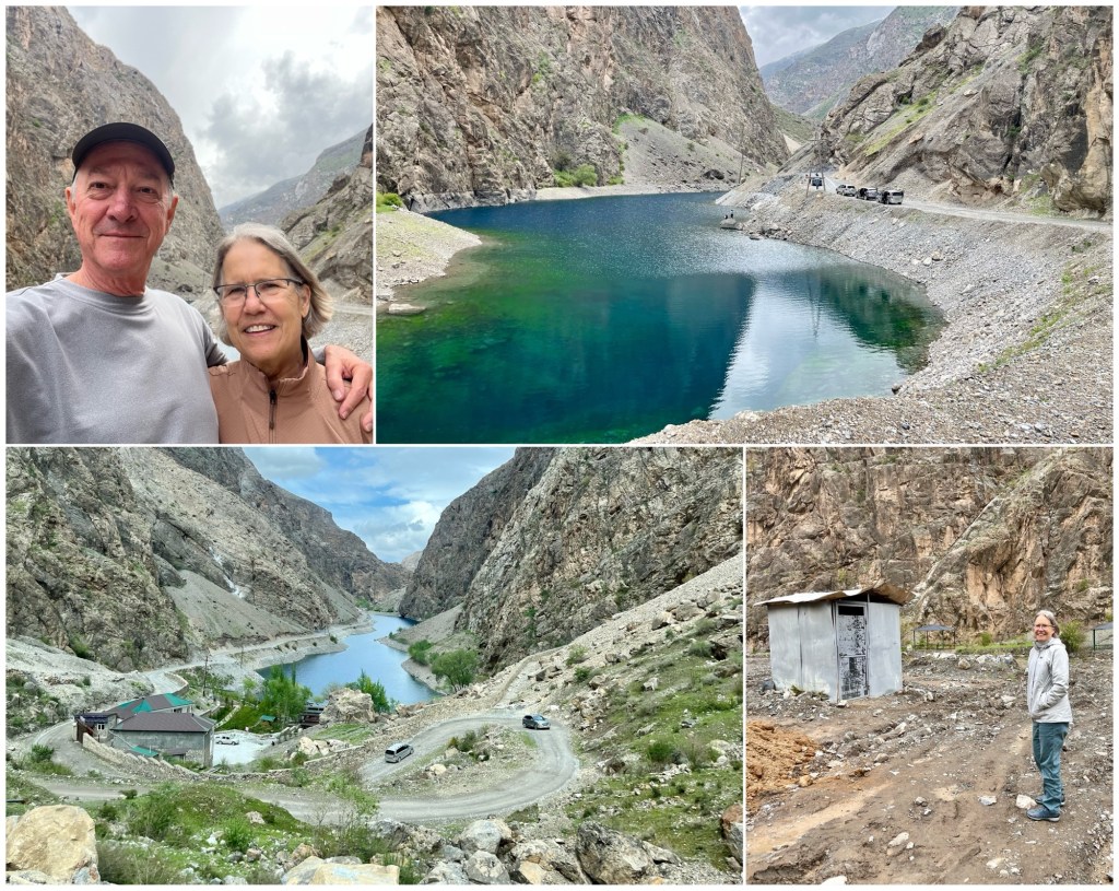
The Third Lake (Gushor) had restroom facilities: a hole in the ground surrounded by corrugated metal (photo above, bottom right). When ya gotta go, ya gotta go.
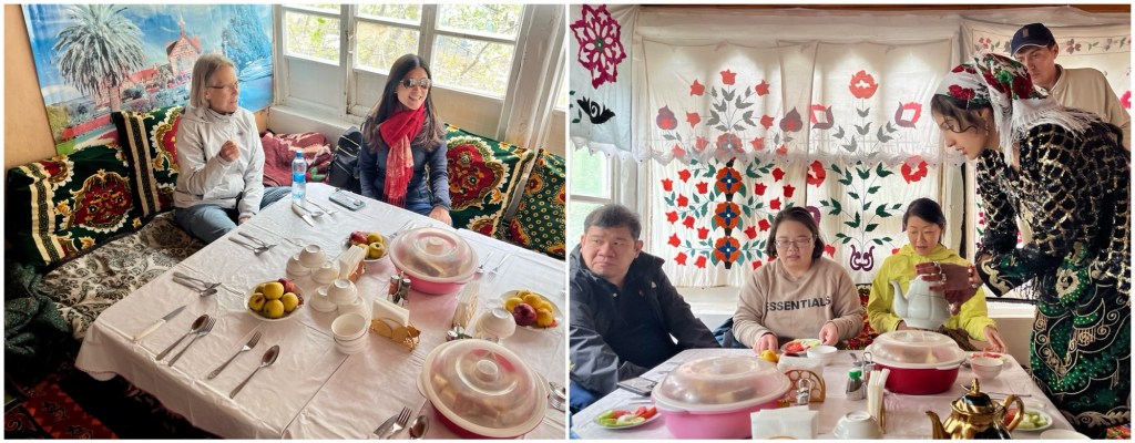
We stopped for tea and lunch at Fourth Lake (Nofin):
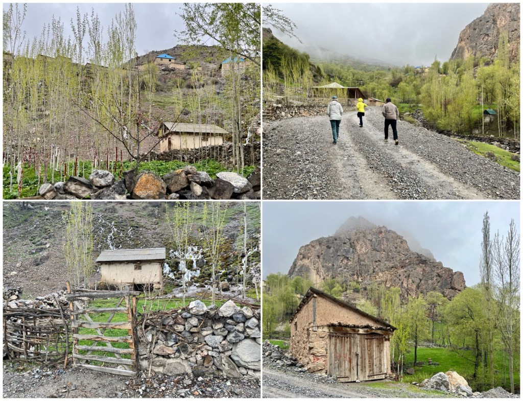
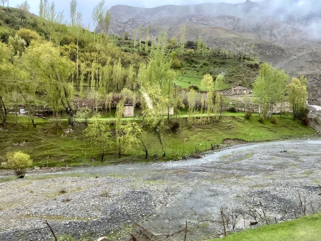
We passed several small settlements around Fourth and Fifth (Khurdak) Lakes. Very rustic, with livestock roaming the fields.
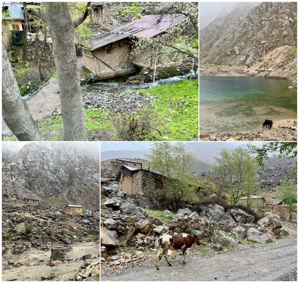
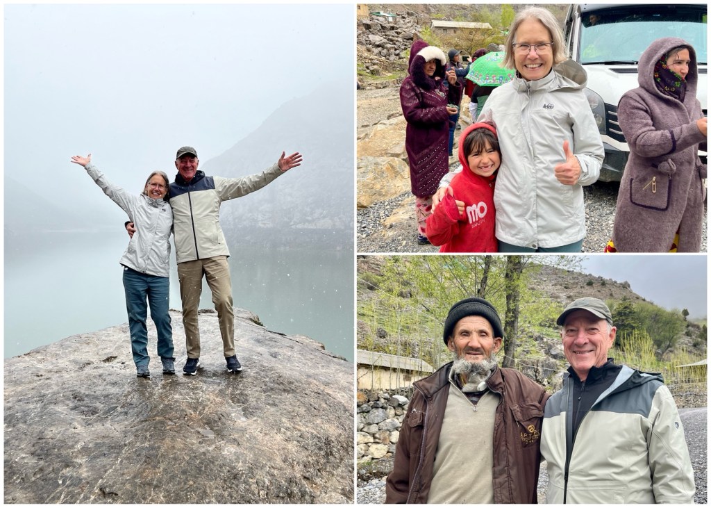
Photo op in the fog at Sixth Lake (Marguzor). We made friends along the way.
The passable road ended at Sixth Lake at the village of Pani. We got out and began the hike up to Seventh Lake (Hazorchashma).
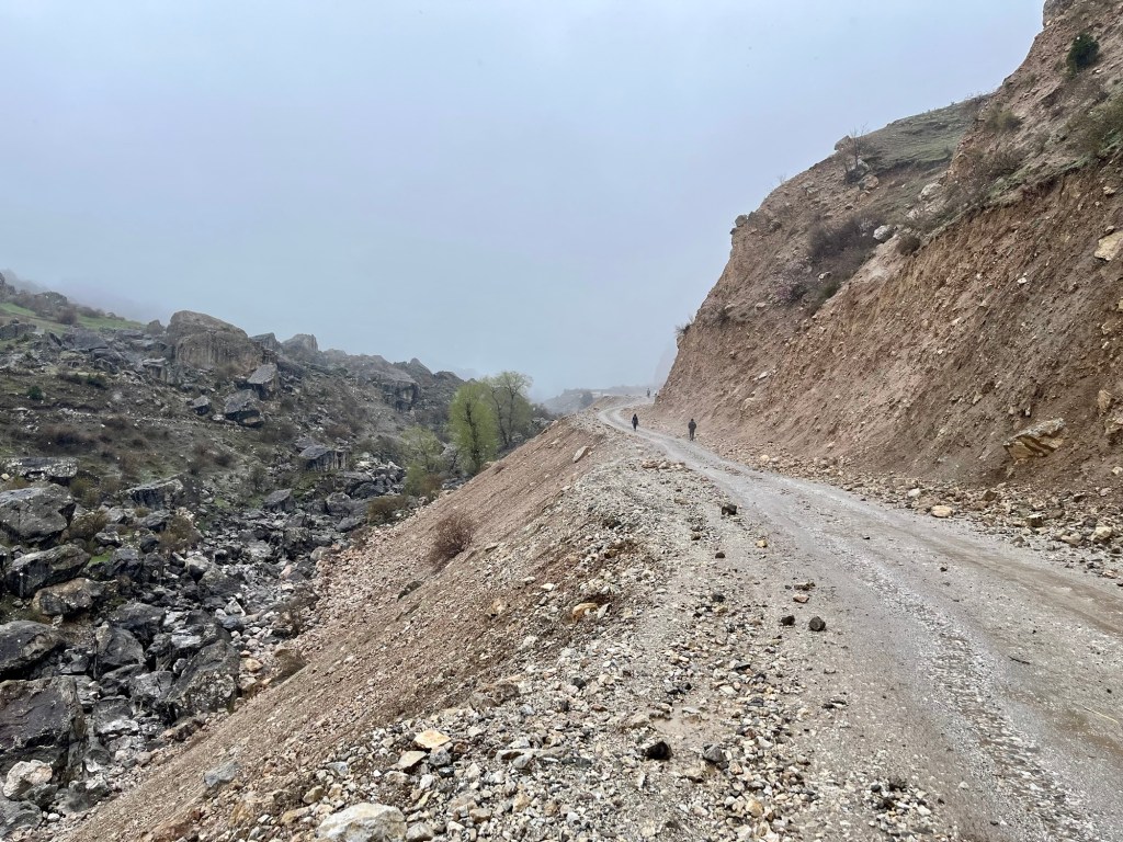
Most of the hike was along a rock road with about a 15° pitch. I followed Ahror most of the way; Dale was way up front with our local guide.

On and on we went. It started to snow.
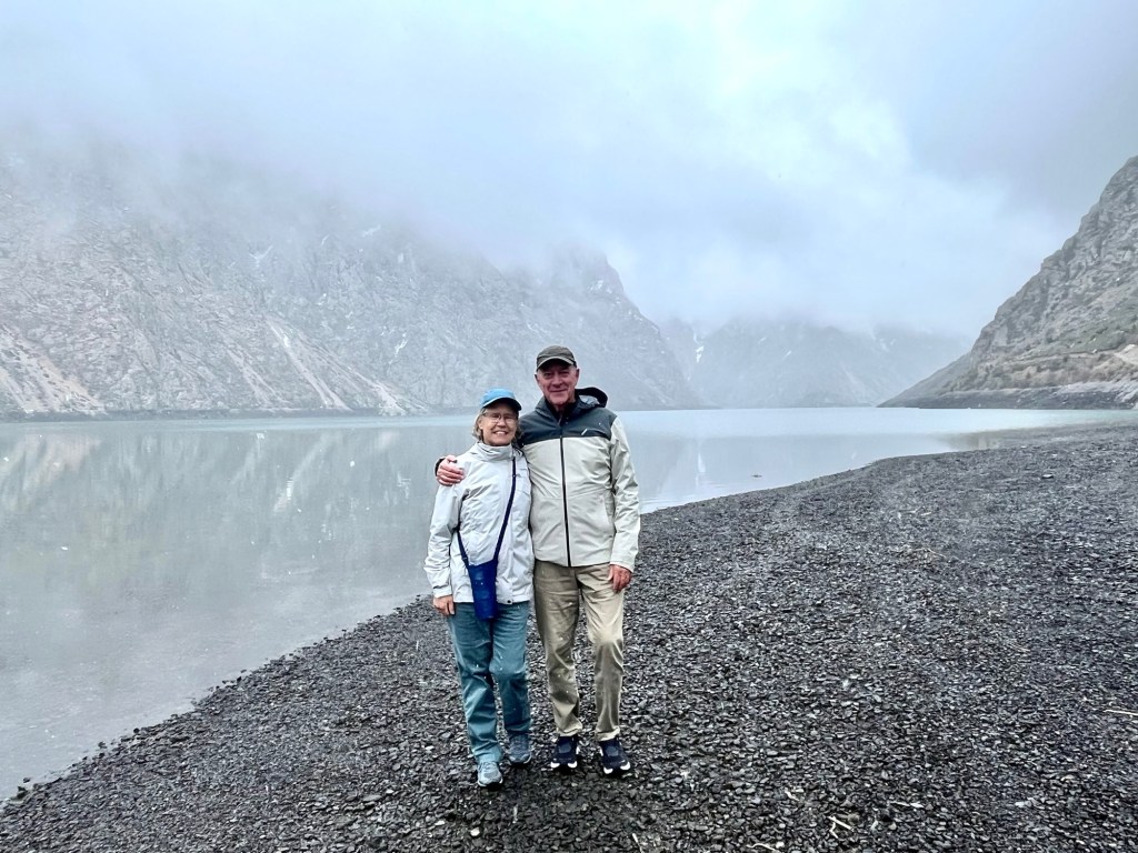
Here we are at Seventh Lake, 1.5 miles away from and 700 feet higher than our start at Pani. A nice 3 mile round trip hike and a welcome change from just being sightseers.
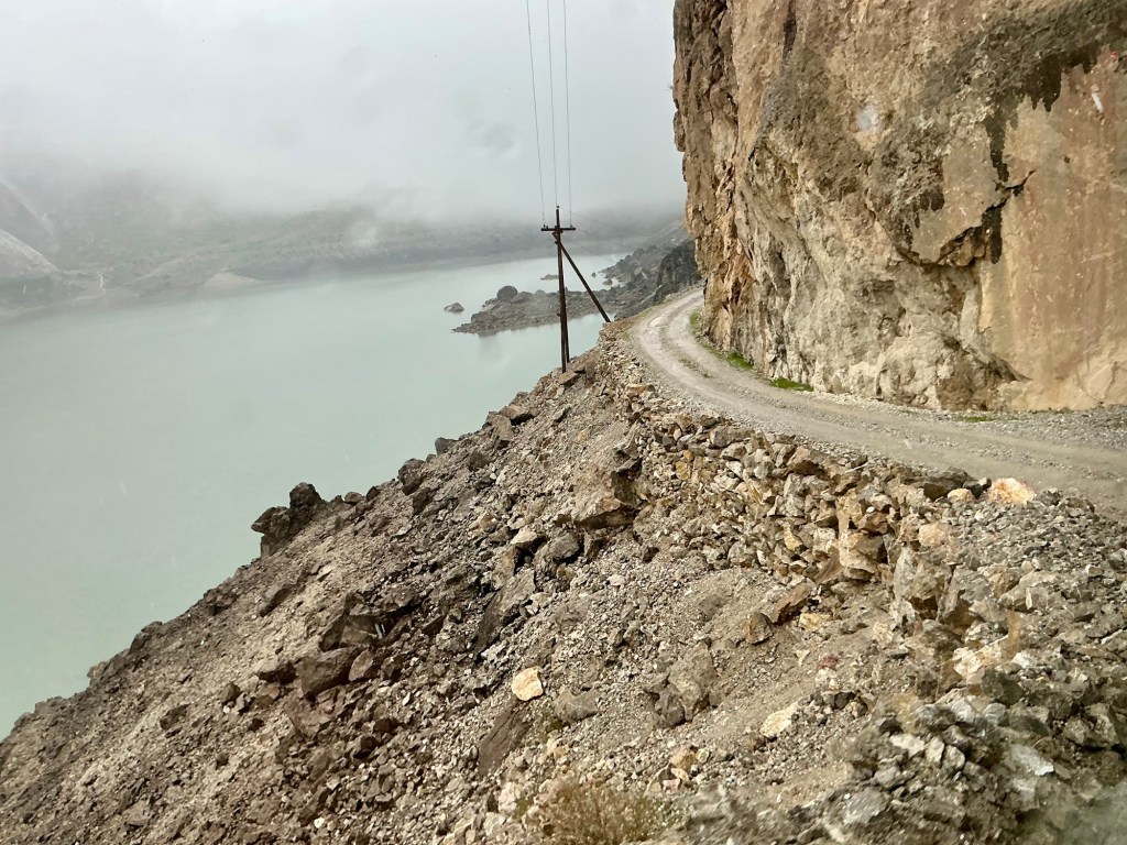
The drive back down was just as exhilarating as the drive up. Much of the road looked like this:
The lower we went, the greener things got.
After passing First Lake, we noticed this mine near the village of Vaghashton. Our local guide explained that this is a gold mine, now operated by the Chinese who took it over from an American operator a couple years ago. He said it employs 2,000 Chinese workers and 1,500 locals, supplying enough opportunity for employment that environmental concerns have taken a back seat.

It was nice to get out into the countryside and have an opportunity to meet some of the local people. Smiles all around.
