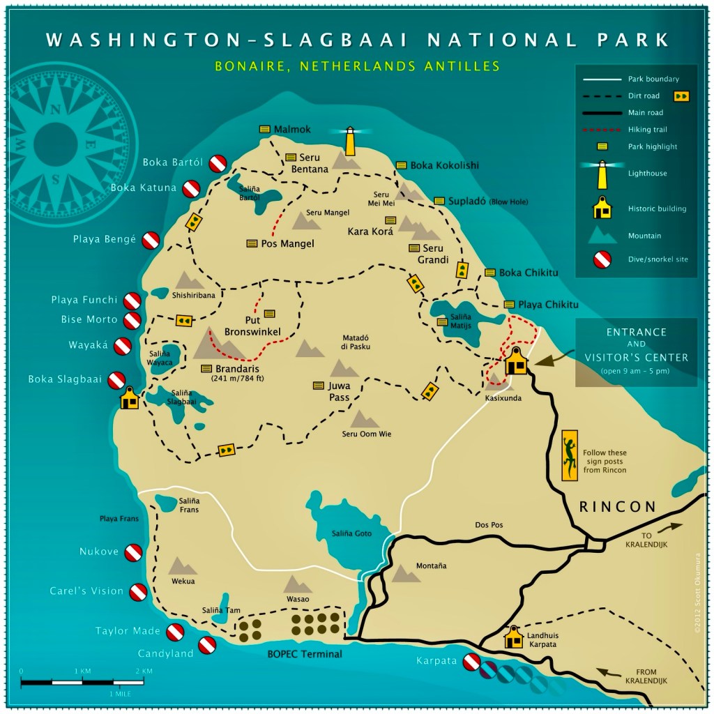
The cruise ships were in port on Wednesday, dumping 7,200 passengers into Kralendijk and its surroundings, making it the best day for us to avoid town by visiting Washington-Slagbaai National Park, the 13,500 acre gem that comprises the northern 1/4 of the island.
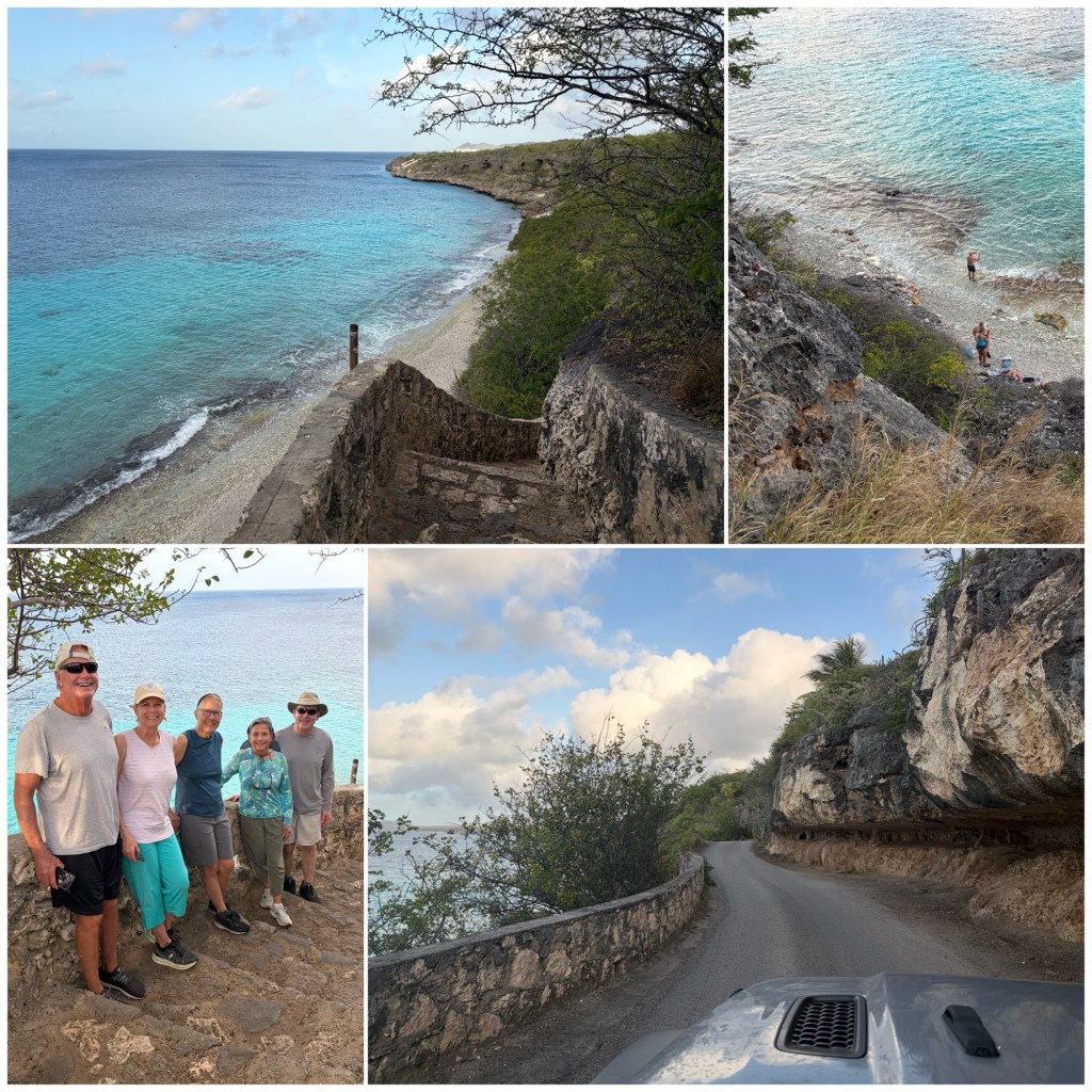
Up early, we took the single-lane coast road north, stopping on the way at the staircase known as 1,000 Steps that identifies the reef we started our trolling runs from the day before. We walked down to the beach, counting the steps: 71; but they say it feels like 1,000 if you’re carrying scuba tanks back up after a dive.
By any measure – employment, GDP, or tax revenue – at least half of Bonaire’s economy is dependent on tourism, but fortunately for us, only a handful of cruise ship tourists make their way up to Washington-Slagbaai N.P.
The Park’s name comes from the two colonial-era plantations that operated on the land here: one known as America/Washington; the other as Slagbaai. The government purchased the plantations in 1967 and 1977, respectively.
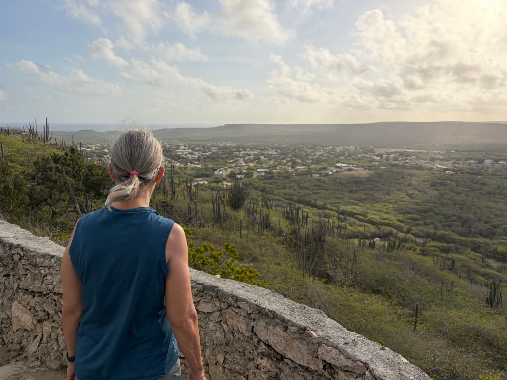
From 1,000 Steps, we drove through Rincón on the way to the Park entrance, stopping at an overlook to get an elevated view of town.
The Park is managed for the local government by a foundation known as STINAPA (Stichting Nationale Parken Nederlandse Antille) and there’s a entrance fee that you can buy online in order to avoid a wait at the park gate. Besides the ticket office, there are also restrooms and a museum at the park entrance gate, both worth stopping to visit.
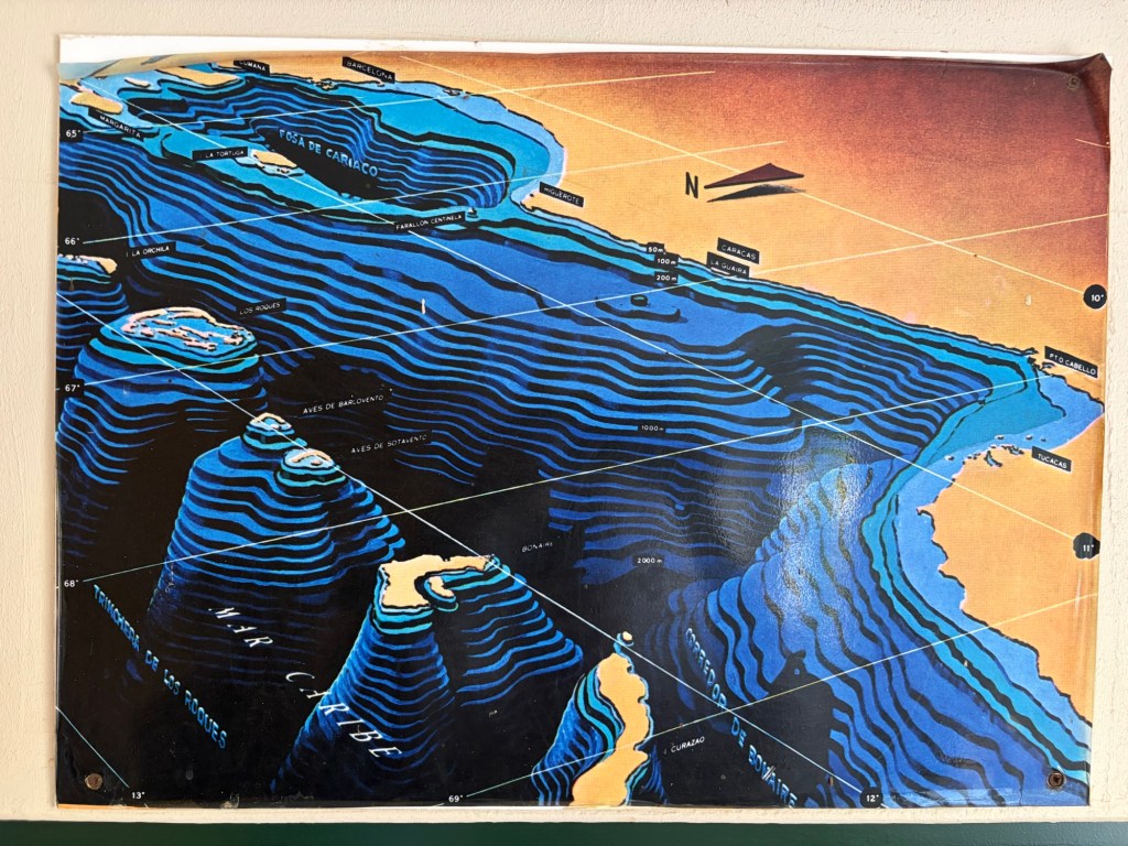
I took a photo in the museum of a display depicting how the ABC Islands are separated from Venezuela by a deep ocean trench (2,000 meters, that is, more than a mile deep; the grid is marked in degrees, that is, 60 mile lengths). We’ll get to see what this looks like underwater when we go snorkeling by boat tomorrow off Klein Bonaire.
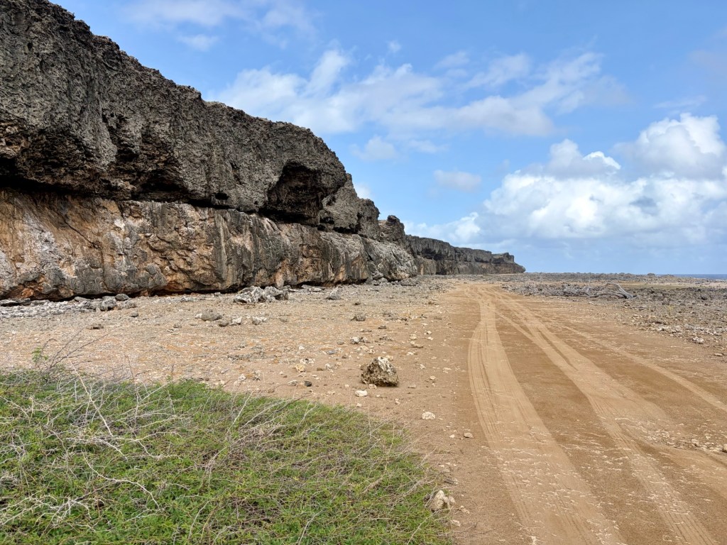
Once through the Park gate, the pavement ends and the one-way dirt road heads inland through cacti and desert terrain. A high-clearance vehicle is necessary.
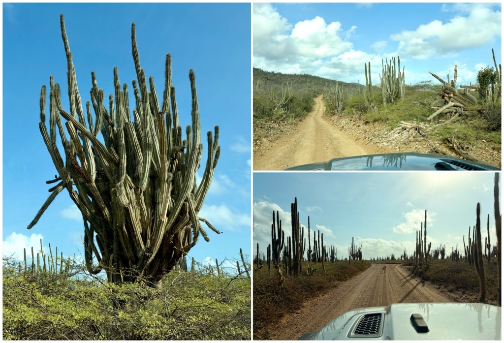
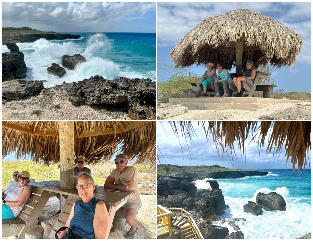
We drove the entire perimeter of the Park. Our first stop being Playa Chikitu, shown below.
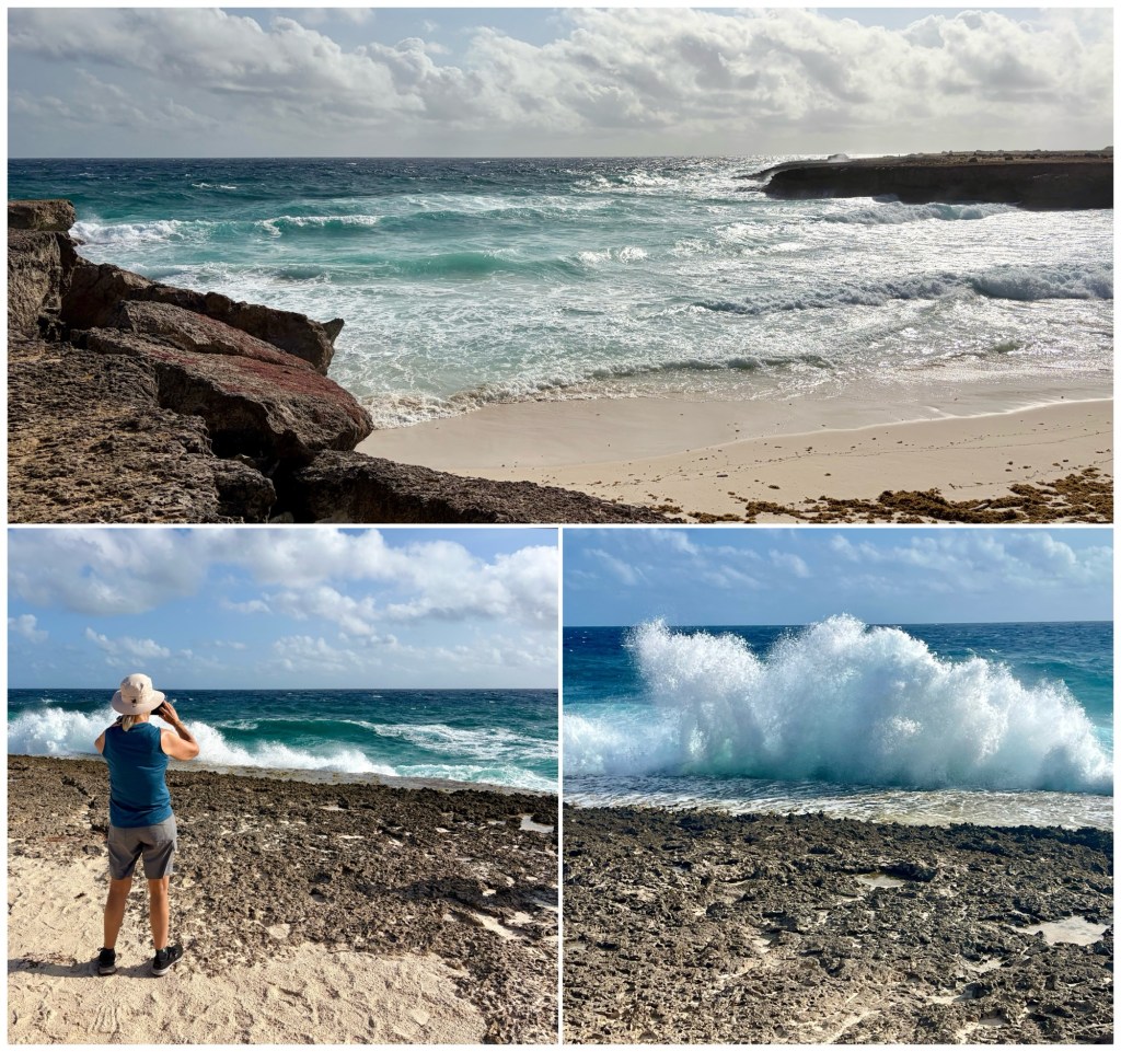
There are powerful waves on the Eastern shore, with plumes and foam thrown high into the air by swells crashing against the volcanic shoreline. Enough sand has been washed in by wave action to mound up sand dunes here, the only ones on the island.
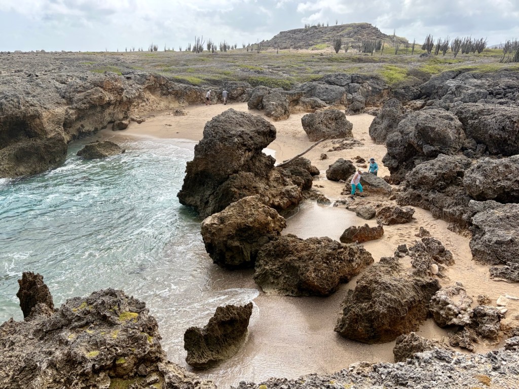
Just north of Playa Chikitu is Boca Chikitu. We stopped to walk out to the point.
Continuing north, we passed Seru Grandi to our left. The Park map has this to say about it:
Seru Grandi is a magnificent display of Bonaire’s geological history. You can see where ancient tsunamis heaved enormous boulders onto the flats, demonstrating the immense strength of the sea. The 58m (190ft.) high terrace mainly consists of limestone containing fossil remnants of coral reefs lifted out of the sea over millennia. The higher terrace is over a million years old, and the middle terrace is about 210,000 years old. A horizontal line in the rocks divides the terraces, and is an impressive demonstration of where sealevel was before the island rose due to tectonic plate action.
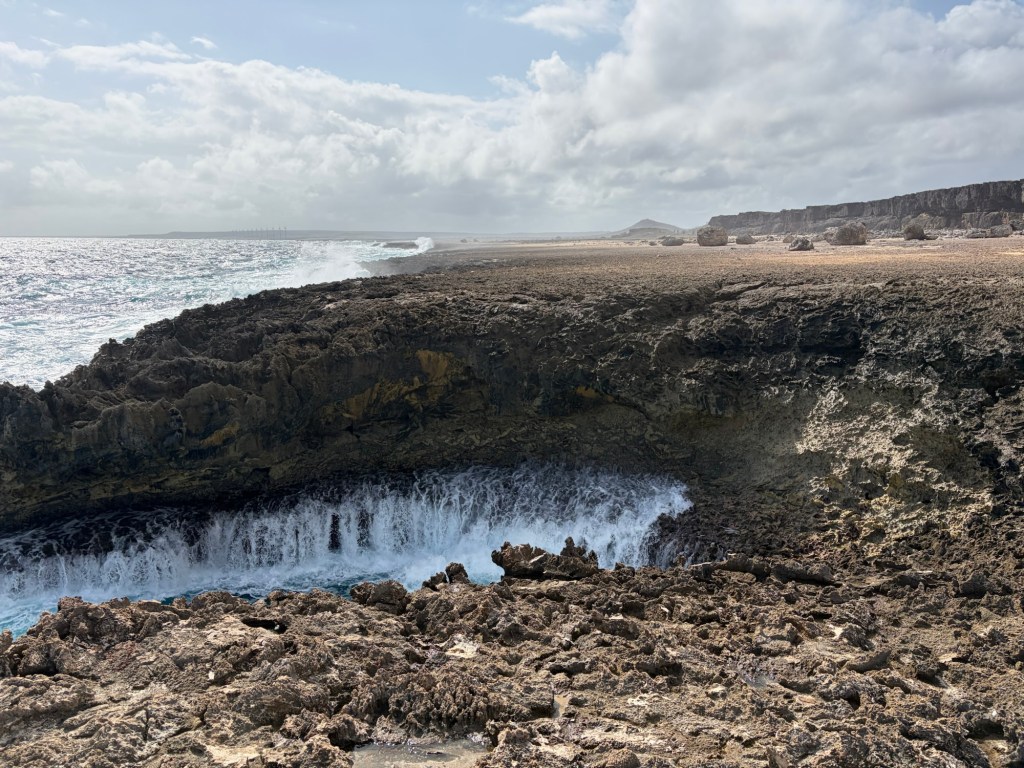
Further up the road we stopped at the Suplado Blow Hole. Sorry, I didn’t get a photo of the water spouting out the blow hole, but here’s one looking south as the water retreated.
Continuing north, our next stop was Boka Kokolishi, that is, “Fairytale Bay,” the scattered boulders being reef fragments infused with petrified conch shells and other fossils.
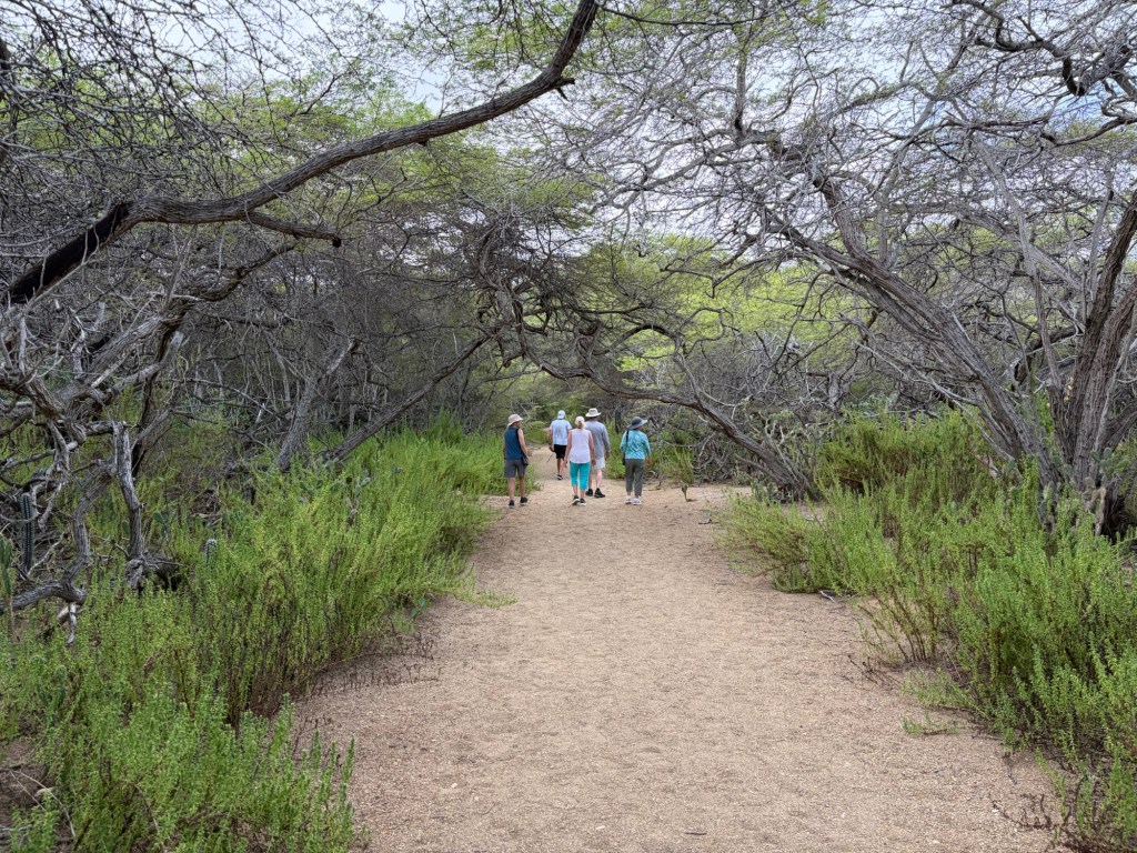
From Boka Kokolishi we again headed inland, this time toward Pos Mangel, the site of a spring frequented by feral goats, one of which was there with her kid when we arrived.
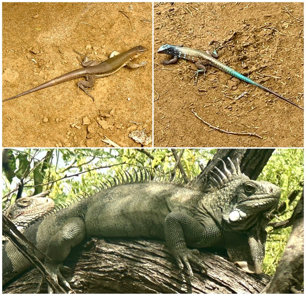
Other wildlife spotted here included Bonaire Whiptail Lizards (female on left, male on right) and a pair of Green Iguanas up in the mangrove.
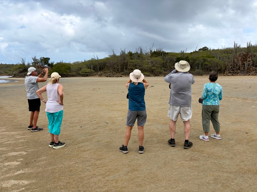
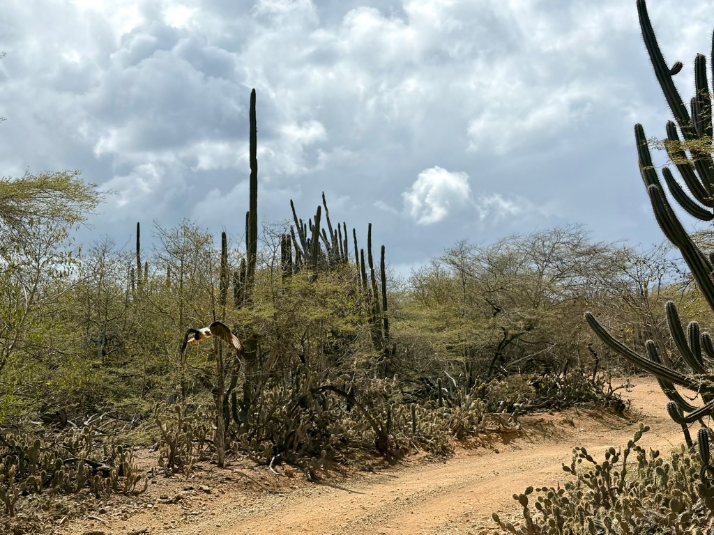
On the way to where we parked our vehicles, we located the trail to a saliña, a saltwater lagoon known for birdwatching. Those with binoculars spotted a raptor – a Crested Caracara – atop a distant cactus:
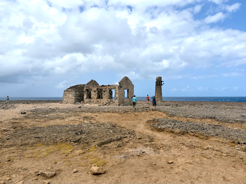
Back on the main track, we detoured to the north end of Bonaire to visit Malmok lighthouse ruins, built and quickly abandoned in the early 1900s after only six years in operation. The location turned out to be unsuitable: too close to the sea.
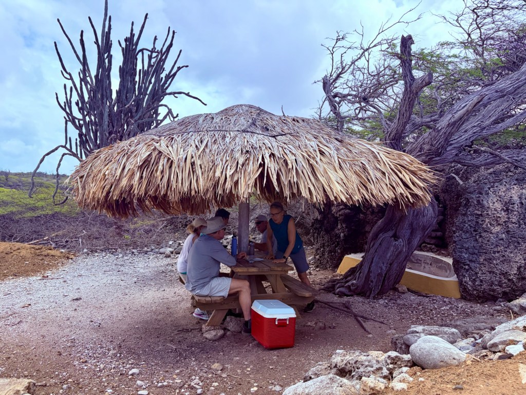
To the west of the lighthouse ruins, just as the road turned south along the coast, we stopped for lunch under a tiki shelter at Playa Bartol.
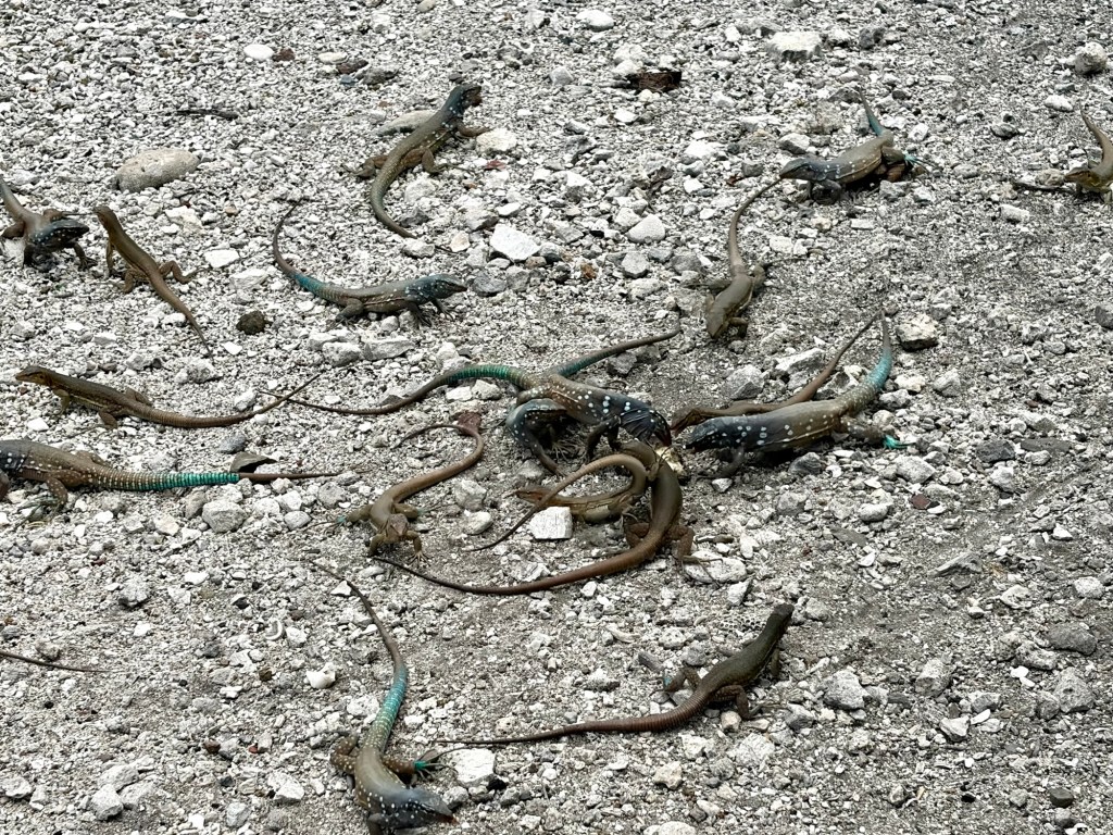
The Whiptail Lizards had a feeding frenzy on our crumbs:
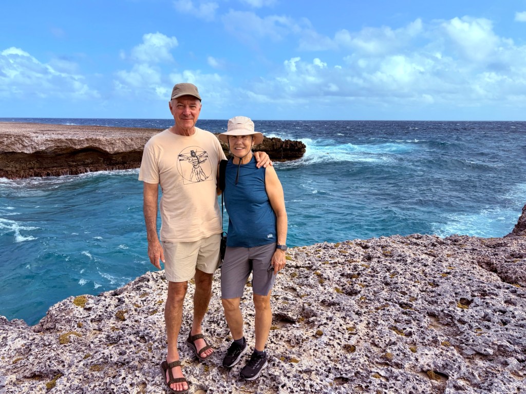
Just a short distance to the south, we stopped again at Boka Katuna where the ladies took up position under another tiki shelter to rate the waves crashing against the rocks below. The one at the top left, below, scored a 9.5.
Once again the road turned inland. Coming around a bend, a Crested Caracara soared right past us, crossing the road:
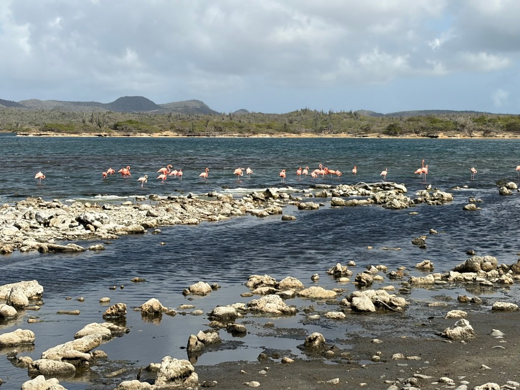
Our final stop inside the Park was at Boca Slagbaai to see the Flamingos.
We entered the Park at 8:30 a.m. and left at 4:30 p.m. feeling that we could have spent even more time enjoying the place, but we were all ready for something to eat and a little liquid refreshment, so off we went to Rincón.
In Rincon, we stopped at Posada Para Mira, which appeared to cater to both locals and tourists. We had Venezuelan beer, Zulia, and I tried the Iguana soup. Yep, tastes like chicken.
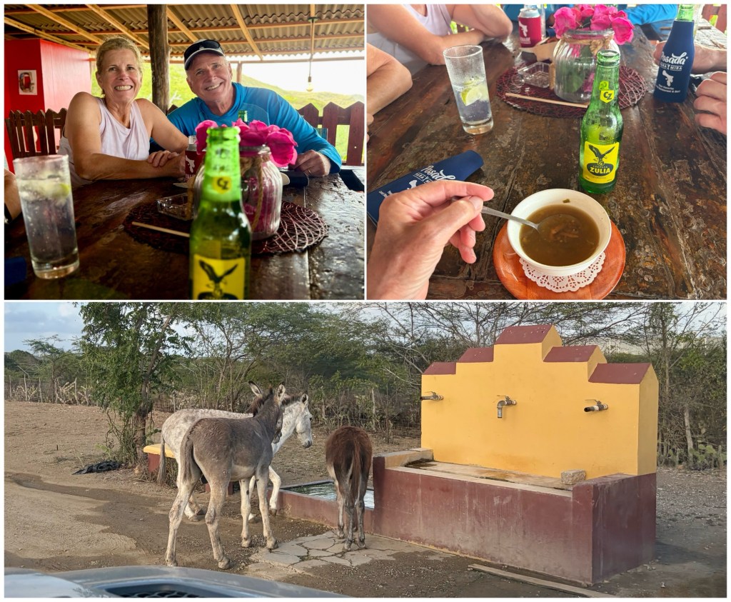
Leaving the restaurant, we went on a brief wild-goose chase through Rincon as the GPS mapping on my iPhone failed to connect, but we ultimately made it to the road south, passing three thirsty donkeys, the camels of the Caribbean, on the way home. An all-around fun day.
