Our excursion today was to the base of El Tronador, “The Thunderer,” an 11,500 foot high extinct Andean volcano.
To get to El Tronador, we had to drive south from Bariloche along the shores of Lago Guitteriez and Lago Mascardi for a distance of about 30 miles, turning east at Villa Mascardi where we entered the Parque Nacional Nahuel Huapi.
After paying our AR$50 entry fee each, we proceeded along a gravel road for several miles, continuing to follow the shoreline of Lago Mascardi.
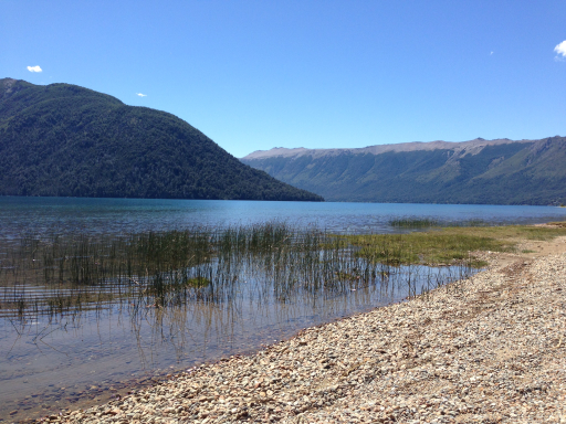
Here’s Dale on the shoreline…

…and then looking right from the same vantage point:
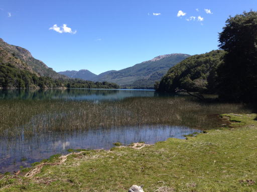
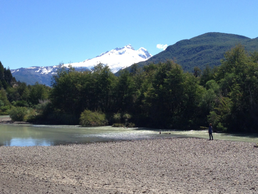
And here’s the view a little father along the road…

…and, again, looking right from the same vantage point:
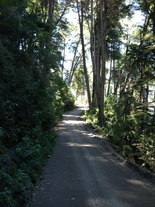
The park road is a one-lane, one-way road that changes direction, going uphill from 10:30 am to 2:00 pm, then reversing and going downhill from 4:00 pm to 6:00 pm (at night, the road is bi-directional).
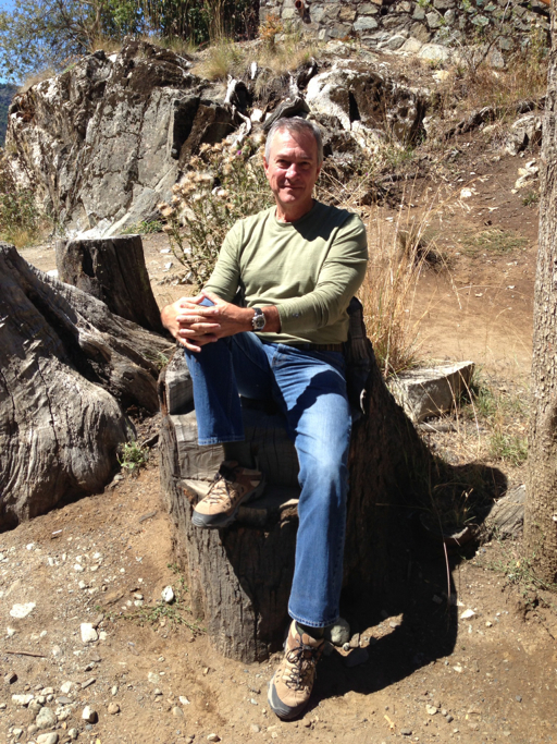
At a lookout, there was a carved chair made out of one of the many fallen trees.
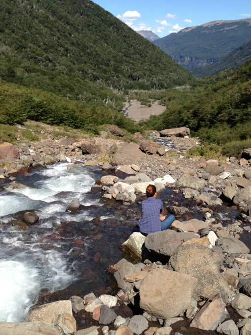
The view from the lookout was spectacular, but, then, so was every other vista we came upon.

After about ten miles, the gravel road turned into a dirt road and then back again to a gravel road, where we got our first glimpse of snow-capped El Tronador, off in the distance:
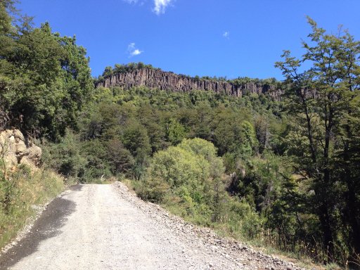
Continuing, we came upon an interesting cliff face that looked like a palisade:
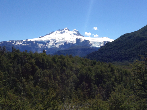
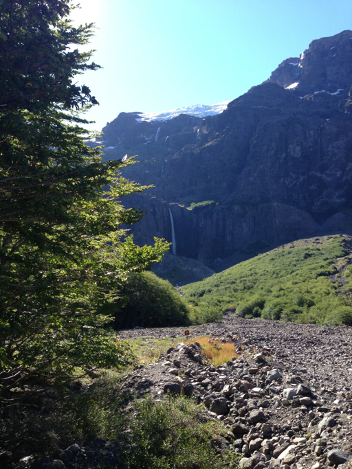
Then, rounding another bend, we were confronted by El Tronador in its full glory. The blue colors are a few of the eight glaciers on El Tronador – also, notice the snow ledge on the left that looks like an avalanche waiting to happen.
In all, we drove a distance of 25 miles to the base of El Tronador; the drive from the park entrance to the base of El Tronador took two hours.
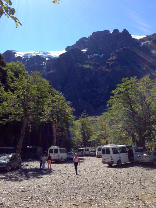
Here we are at the end of the road. To our amazement, there were a bunch of tour buses parked at the trailhead. For the life of me, I can’t figure out how buses (not just the vans you see in the photo, but full-size Greyhound-type buses) maneuvered the turns on the gravel and dirt roads leading to this place.
Here’s a picture of our destination from the parking area:

The hike up to the base of the mountain was not too strenuous, so the trail was pretty crowded from the bus-tour groups.

But they all stopped a fair distance from the end of the trail, so we continued on.
At trail’s end, Dale stopped to tip her toes in the chilly run-off.
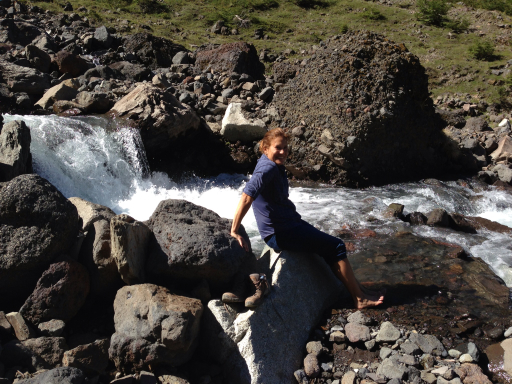
As she put her boots back on, I tried to decipher the signs:

Hmmm… “PELIGRO: ZONA DE AVALANCHAS;” I wondered what that means?
Oh well, I left my Spanish/English dictionary at the house, so we just ducked under the yellow chain and continued to the bottom of the waterfall.
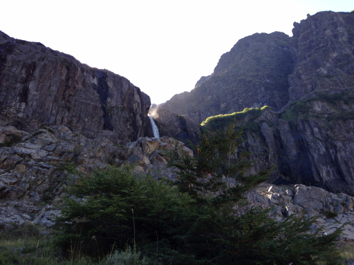
We walked up nearer the falls, then retraced our steps to the parking area where I took this picture back toward the base of the falls where we had hiked:
Oh! Now, I see…. “Zona de Avalanchas” – because of the snowfall overhang above the waterfall.
Well, all’s well that end’s well. Ready to get in the car for the drive back to Bariloche.

