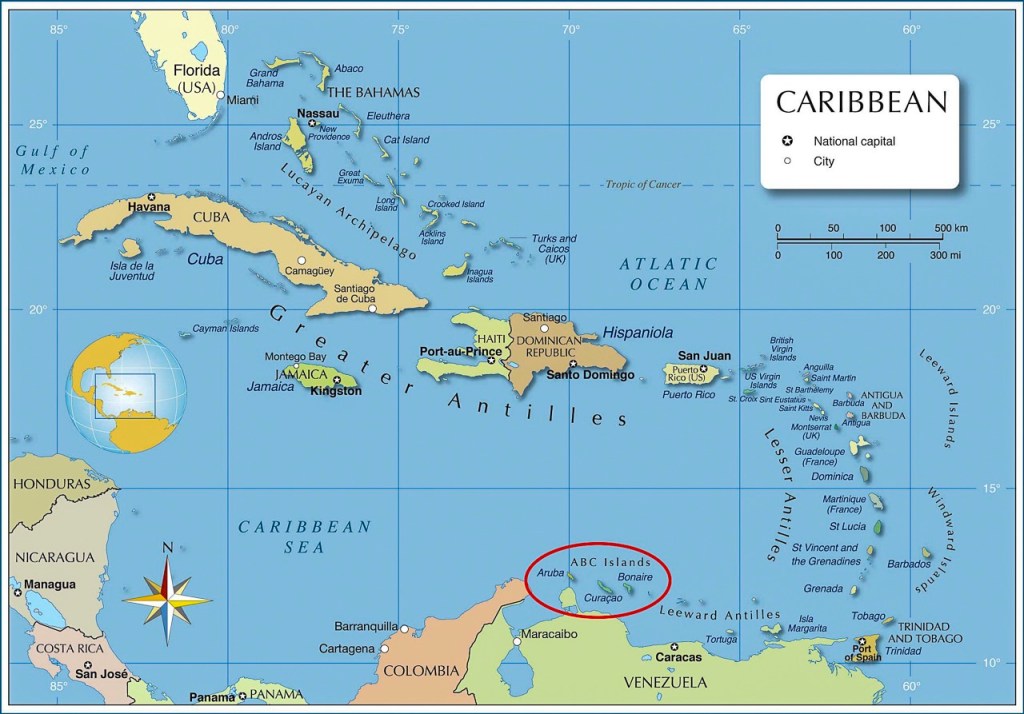
In the southern Caribbean Sea, a mere 50 miles off the coast of Venezuela, lay the three adjacent islands of Aruba, Bonaire and Curaçao, the “ABC Islands.”
For the first 55 years of my life, the ABC Islands, together with the three much smaller Leeward Islands of Sint Maarten, Saba and Sint Eustatius, were known as the Netherland Antilles, a sovereign country within the Kingdom of the Netherlands, similar to the way Scotland is a sovereign country within the United Kingdom.
But on 10/10/10, that is, October 10, 2010, following years of debate and referenda on each island, the Antillean government dissolved and the Netherland Antilles no longer existed as a unified nation.
Aruba, Curaçao and Sint Maarten became individual countries. But Bonaire, Sint Eustatius and Saba each became “special municipalities” of the Netherlands, essentially island cities governed from Europe by the Dutch government in The Hague.
So, that explains why the official language of Bonaire is Dutch and why the citizens of Bonaire all hold passports from the Netherlands. Most Bonaireans, by the way, also speak English and the local creole, Papiamento.
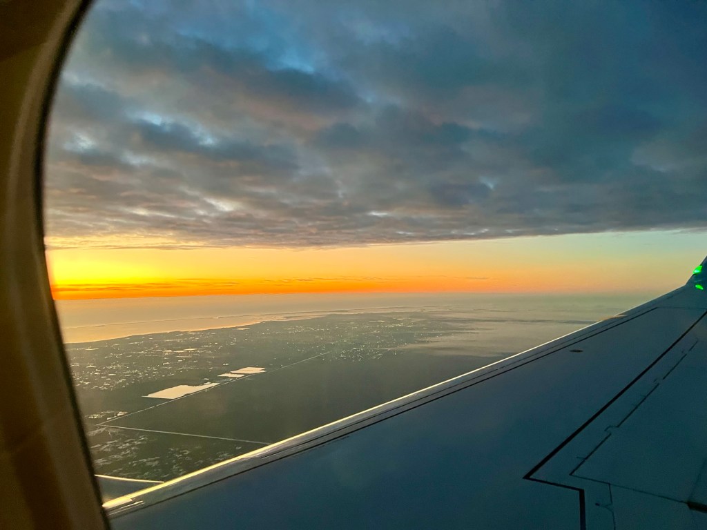
It’s a three hour flight from Miami to Bonaire, but we started early in the morning from Gainesville, Florida. Here’s the view as we circled to the east over Miami nearing final approach, just as the sun rose:
We spent a week on Bonaire with long-time, close friends, Jim and Von, and Mike and Brooke. Von and Jim traveled much further than Dale and I did – all the way from snowy, cold Wisconsin. Brooke and Mike are from Ft. Lauderdale. We all arrived on the same Miami-Bonaire flight just after lunch on Saturday, January 31st.
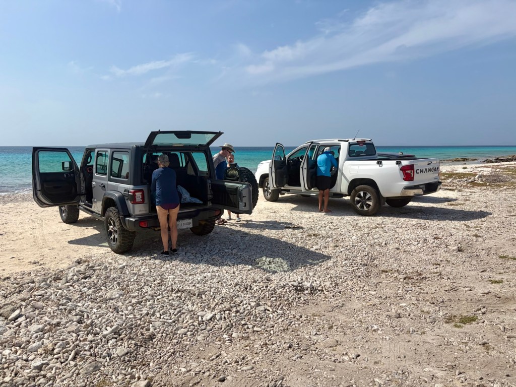
Anxious to get into the warm Caribbean waters of Bonaire, we picked up our rental cars and split up into two groups: one to get groceries; the other to meet the property manager to check in to our rental house.
Those tasks accomplished, the next morning we slipped into swimsuits, grabbed our masks, fins and snorkels, and headed south past the airport to the shore-dive site known as “Salt City.”
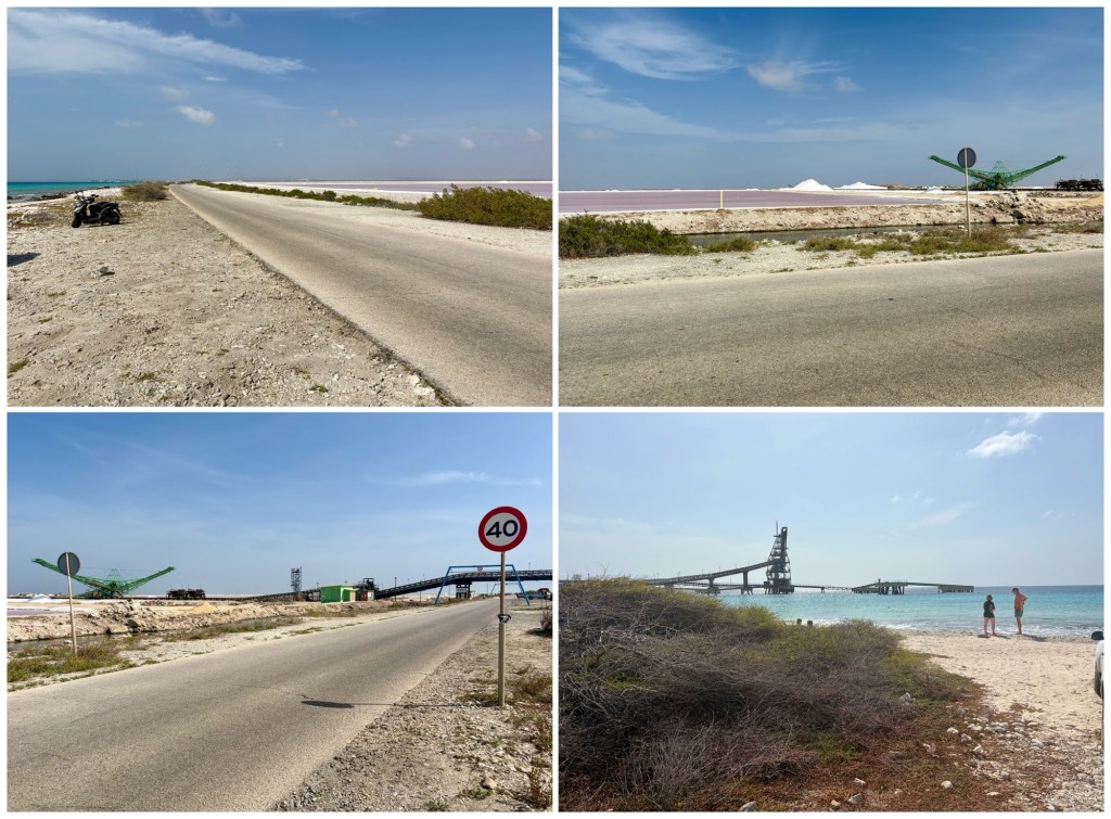
Salt City is the reef north of the pier used by the Cargill company to load and ship the salt it makes by evaporating seawater in shallow salt ponds. Most of Cargill’s salt is shipped to Europe and North America for road de-icing and chemical production.
It takes about three months for the sun and trade winds to evaporate away all the water, leaving just the salt crystals which are harvested by heavy equipment and stacked into pyramids until loaded by a conveyor system onto ships tied up to the pier.
Starting at the top left, the photos below look: north with the salt ponds to the right; then southeast at the mounded salt pyramids. Then from bottom left: to the south at the conveyor system; and, finally, to the southwest at the pier:
Ready to go snorkeling? Say “blowfish” on three. 1, 2, 3….
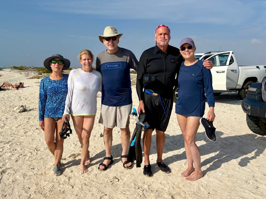
We snorkeled along the inshore reef down to the salt pier, then out underneath the pier to its end. It was a nice first dive, but not the best dive of the trip; that would come later.
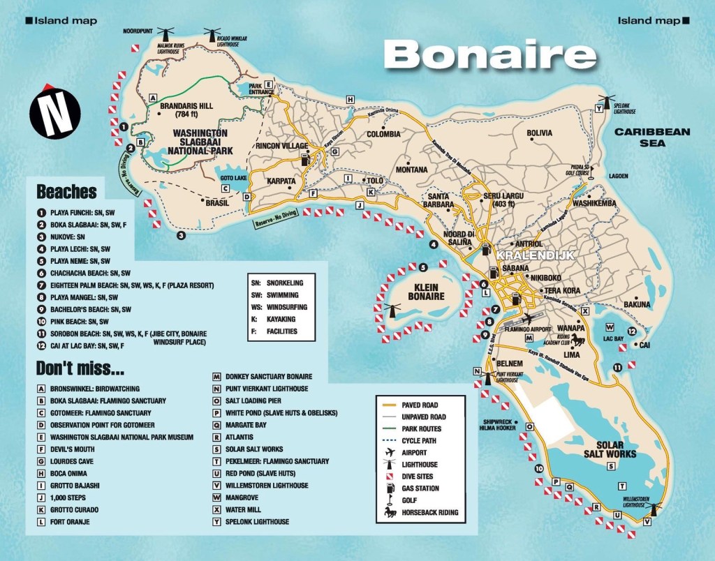
Cargill’s salt ponds cover 13% of the land area of Bonaire; essentially the area south of the airport, as you can see on the map, below. There are beaches and dive sites scattered all along the western shore here, but you need booties and caution to get into the water, especially if there’s any wave action.
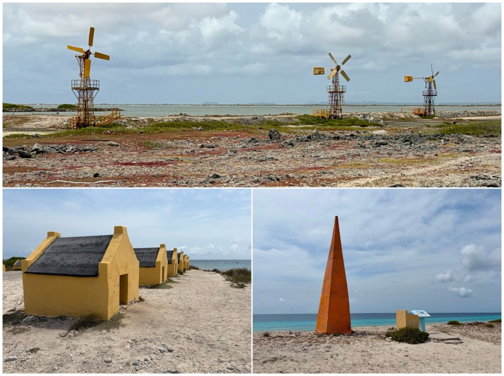
Although Cargill has only been operating here since 1997, Bonaire has produced salt for centuries. In the days of sailing ships, most salt was loaded at the southern end of the island where four obelisks marked landing sites for different grades of salt. The photo below, bottom right, is one of them, marking the Rode Pan, the Red Pond.
The huts shown in the photo, bottom left, were used by workers (probably African slaves) who would construct temporary piers from which a line would be extended out to the anchored ship. They would then carry salt in baskets out onto the pier to load the ship’s tenders which would then pull themselves back and forth between pier and ship.
The photo on the top, below, is the view from the east side of the island, looking back to the west across the salt ponds. If you look closely, you might see the salt pyramids in the distance. The windmills are still in use, apparently to pump seawater into the ponds.
Invigorated by our time in the water, we returned to our rental home to watch the sun go down.
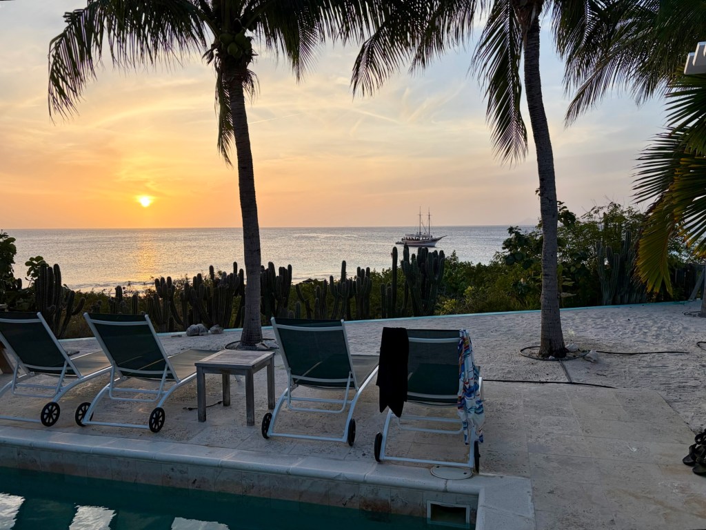
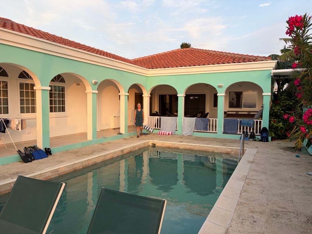
Our rental was through VRBO, a wonderful 3-bedroom, 2-bath privately-owned house with a pool, located between the dive sites known as Andrea I and II. It was perfect. And the Andrea reef was a great place to snorkel, something we all did almost daily during our stay.
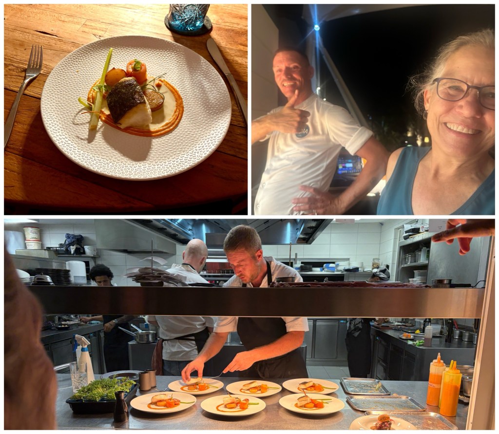
There’s no shortage of places to eat on Bonaire. We tried Eddy’s Restaurant our first night – great casual dining. The second night out we ate at Biña Restaurant & Bar, going all-out ordering the chef’s recommended three-course dinner (photos, below); great food and great service. Highly recommended.
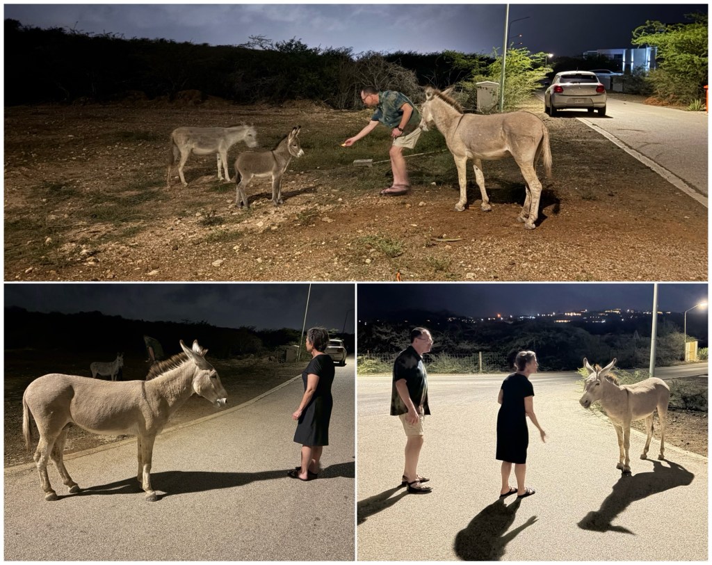
Back late from dinner, we got to meet the neighbors!
The Spanish brought donkeys to Bonaire in the 1600s as working animals, primarily to transport salt. But with the advent of motorized vehicles, they were no longer needed and, consequently, were released into the wild.
It is estimated that there are over 1,000 feral donkeys on Bonaire and another 800 kept at the Donkey Sanctuary (which we unfortunately didn’t get to visit).
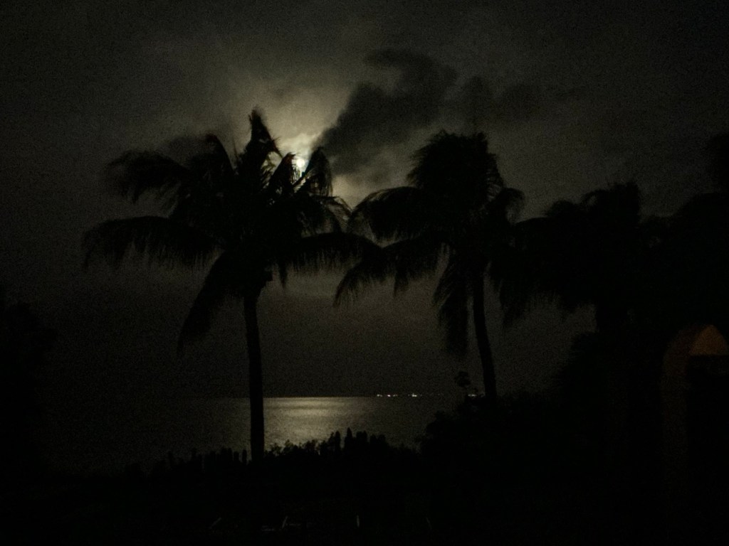
There was a full moon the night after we arrived, so we got to see both a sunset and a moonset from the backyard.

Awesome ?? ??
Get Outlook for Androidhttps://aka.ms/AAb9ysg ________________________________