We decided to leave Bangor and drive to Houlton ME which is located right at the Canadian border. From Houlton, we waited over night for Hurricane Leslie to continue on its way past Nova Scotia.
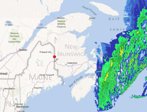
Here’s the radar map from Monday evening showing the outer bands over Halifax, the capitol of Nova Scotia, about 300 miles east of us:
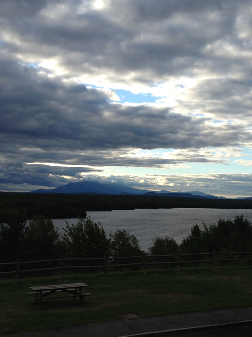
We left Bangor at 5:00 p.m. Monday, leisurely making the 2-hour drive north to Houlton. Along the way, we pulled off the Interstate to look at Mount Katahdin off in the distance. Mount Katahdin is the highest point in Maine (at almost exactly one mile in elevation to the summit) and also the northern terminus of the famous Appalachian Trail.
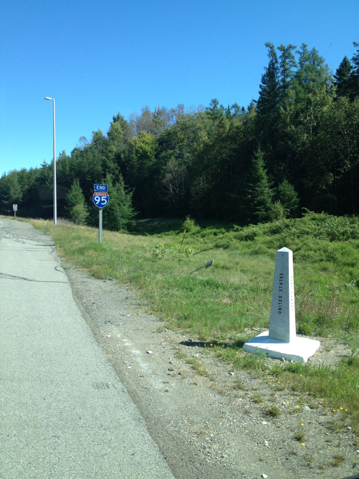
Now at the border crossing, we’ve reached the northern terminus of I-95 after almost exactly 2,000 miles of driving.