We decided to stretch our legs yesterday and hike to the top of Cerro Llao Llao, one of the foothills of the Andes Mountains which separate Argentina from neighboring Chile.
This “hill,” as they call it, has a peak elevation of 3,600 feet, rising from the trailhead at 2,500 feet (which is also the approximate elevation of the city of Bariloche).
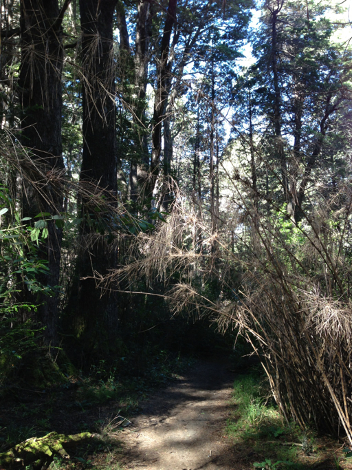
The hike to the top of Cerro Llao Llao was about two miles each way, flat for the first half and then rising 900 feet over the second mile to the summit. For the first mile, the path wound through canebrakes and deciduous forest:
Here’s Dale a little past the half-way point:
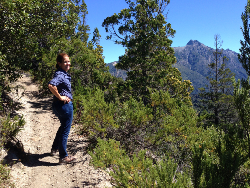
And here’s her view:
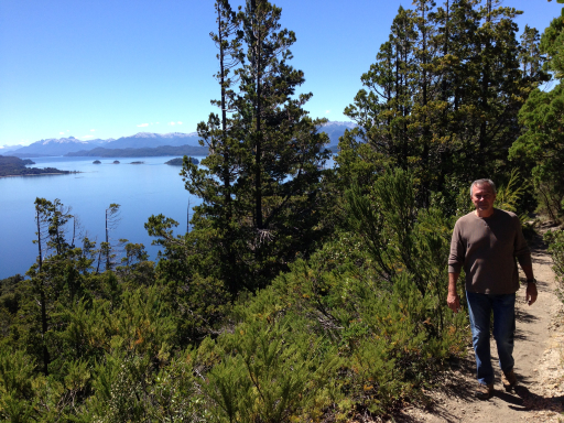
That’s me, taking up the rear:
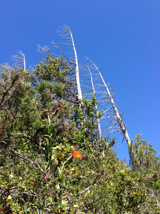
As we approached the summit, it became clear that the wind blows pretty strong here.
Finally, at the top.
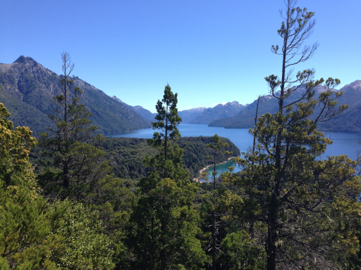
What a view! Dale, looking due west up the Brazo Puerto Blest, an arm of Lago Nahuel Huapi:

And here’s the view to the southwest looking toward Mount Tronador, an 11,400 foot high Andean peak sitting on the border between Argentina and Chile.

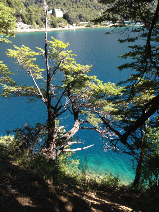
After the hike, we drove the Circuito Chico, the small circuit. At a pull-off, we stopped to admire the crystal clear alpine lake water. These lakes were created by glaciers and are up to 900 feet deep, filled by the glacial melt.
Our drive took us through the village of Colonia Suiza (where there is a craft fair on Wednesdays), then back toward Bariloche.

So beautiful! I love the photos!
LikeLike