If you look closely at the map of Vancouver Island in my last post, you’ll see that most of the road network runs north-south along the eastern coast of the Island, from Victoria on the south, through Nanaimo, Courtenay and Campbell River, ending at Port Hardy in the north. There are no roads running the length of the rugged western coast and only a few that traverse the island east to west, one being BC4, a provincial (state) road also known as the Pacific Rim Highway (the BC is for British Columbia, the name of the province). BC4 is a 4-lane highway from where it leaves the north-south highway, until around Port Alberni.
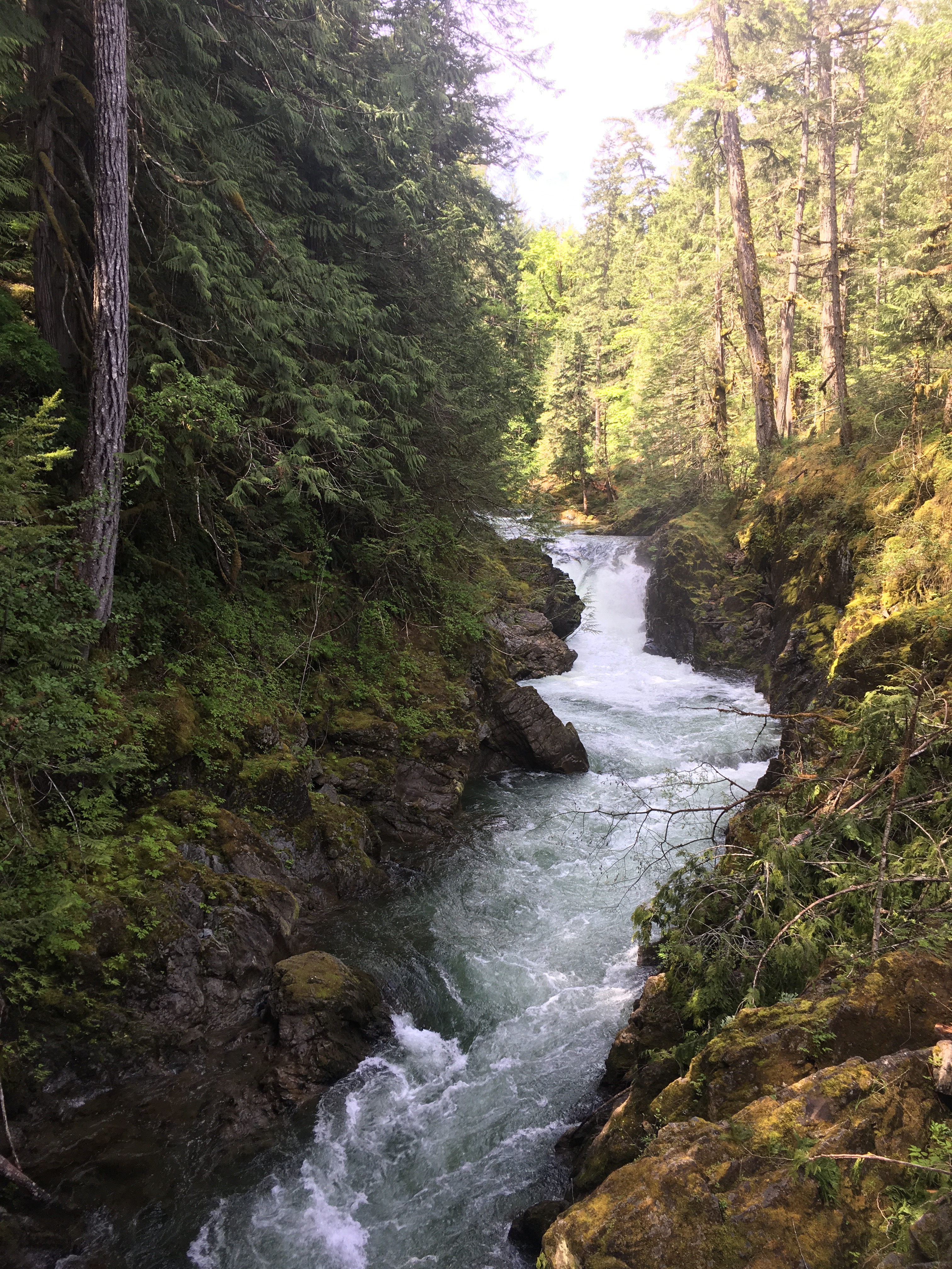
Along the way, we decided to stop for a short hike out to see Little Qualicum Falls. Here’s a view looking up the Little Qualicum River from the pedestrian bridge that crosses it:
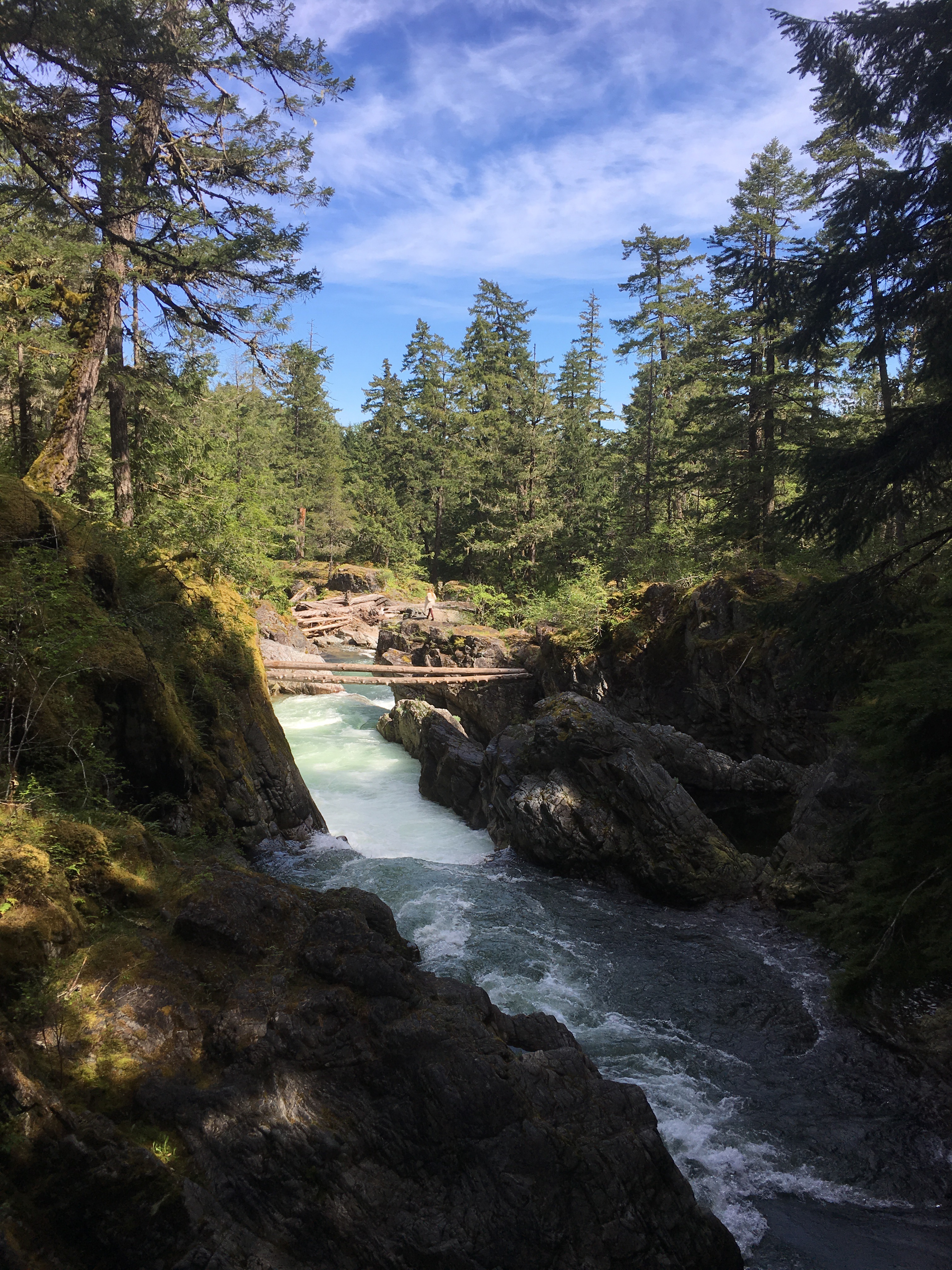
And here’s a picture looking downriver. Notice the girl on top of the rock on the opposite shore.
The path continued over and across the river and then north along its western shore. From a vantage point, we turned and looked back just as the girl on the rock started her balancing act.
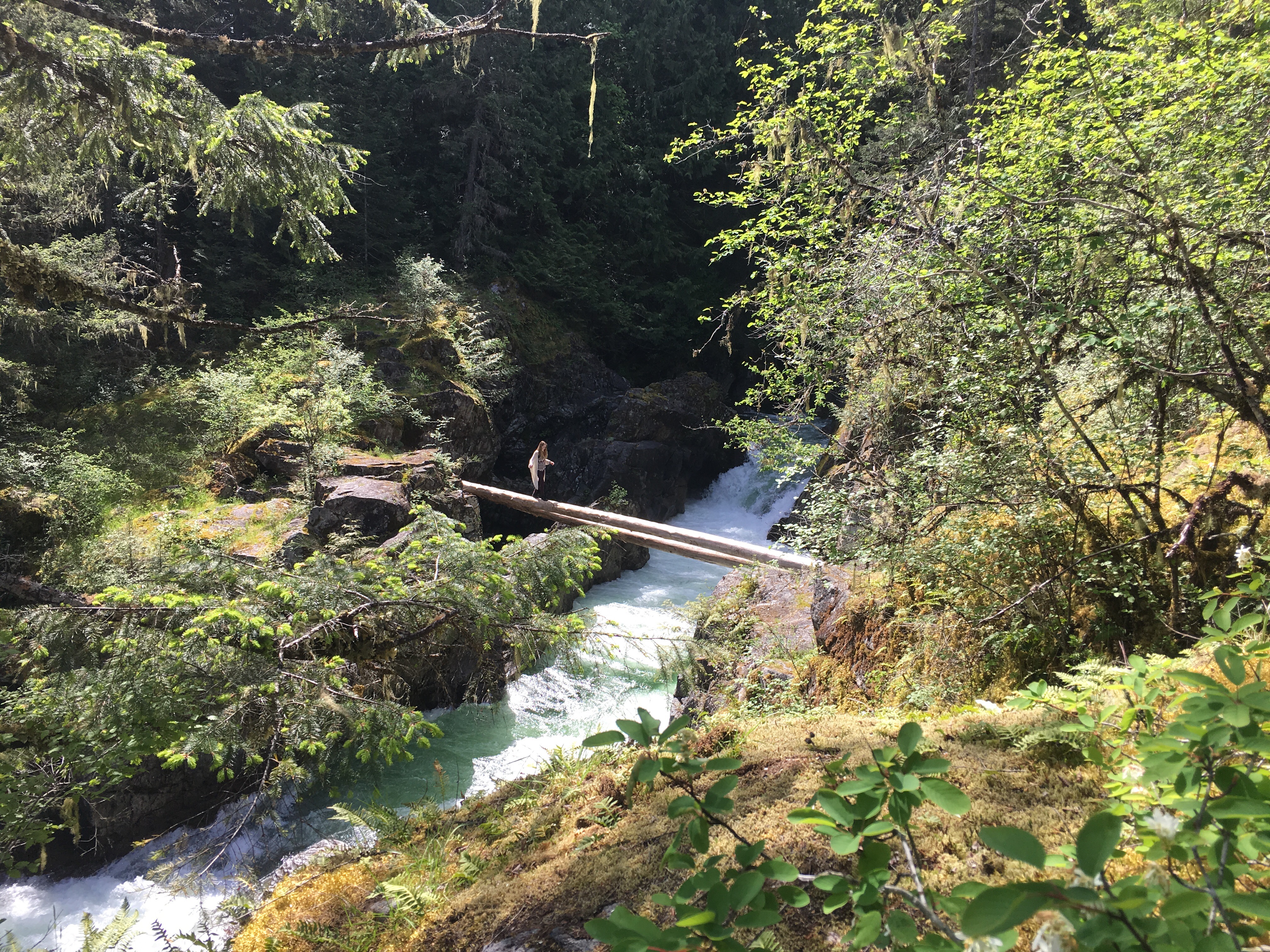
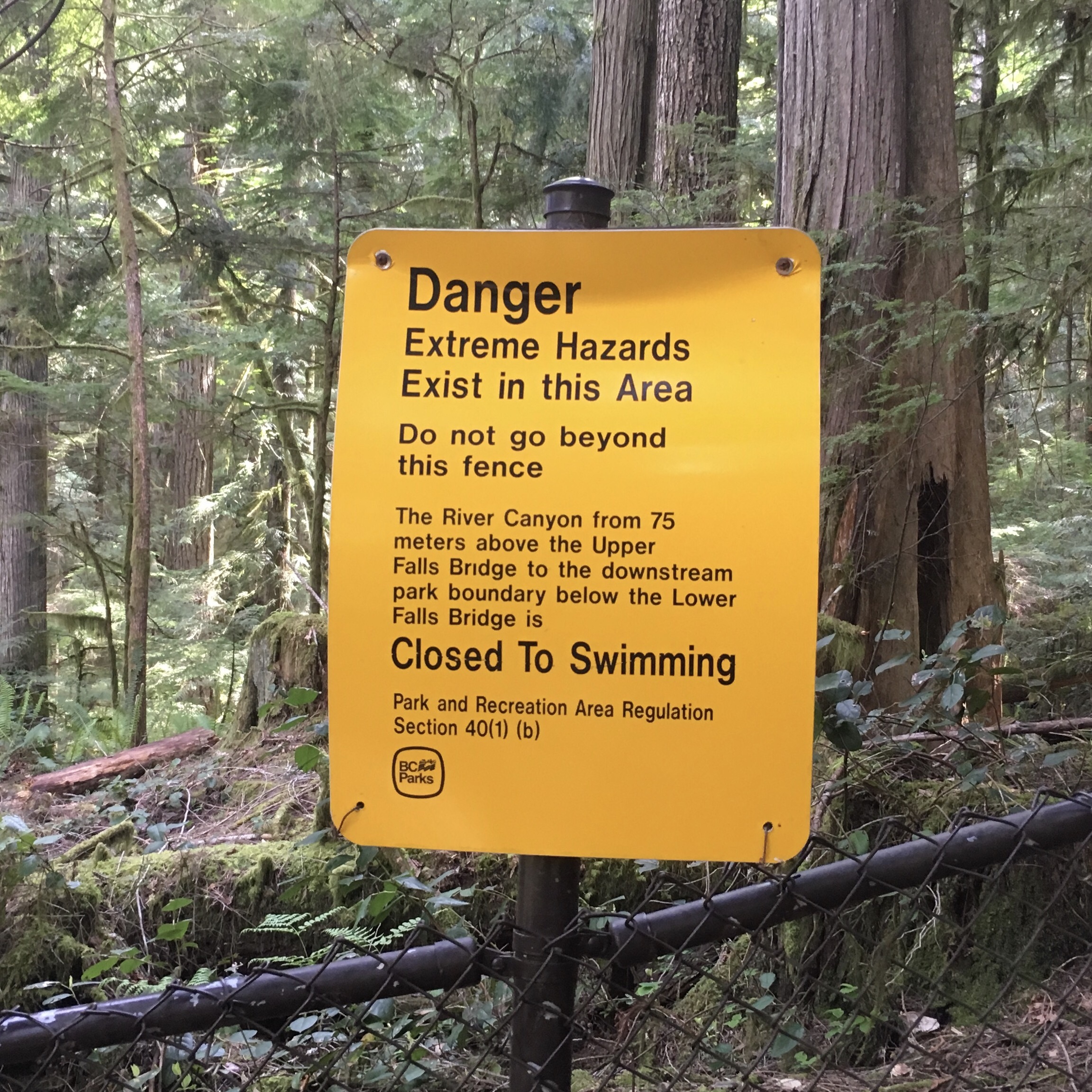
She had good balance for someone so unbalanced. Had she slipped, I have no doubt that she would have been swept downriver and drowned. Ah, to be young and invinceable. And, apparently, illiterate.
We continued to Port Alberni where BC4 became a winding, narrow, busy 2-lane road over the mountains that run the length of the island. Our destination was 3 hours away at the end of the road: the town of Tofino, and a 4-night stay at Bella Pacifica Campground, right on the beach:
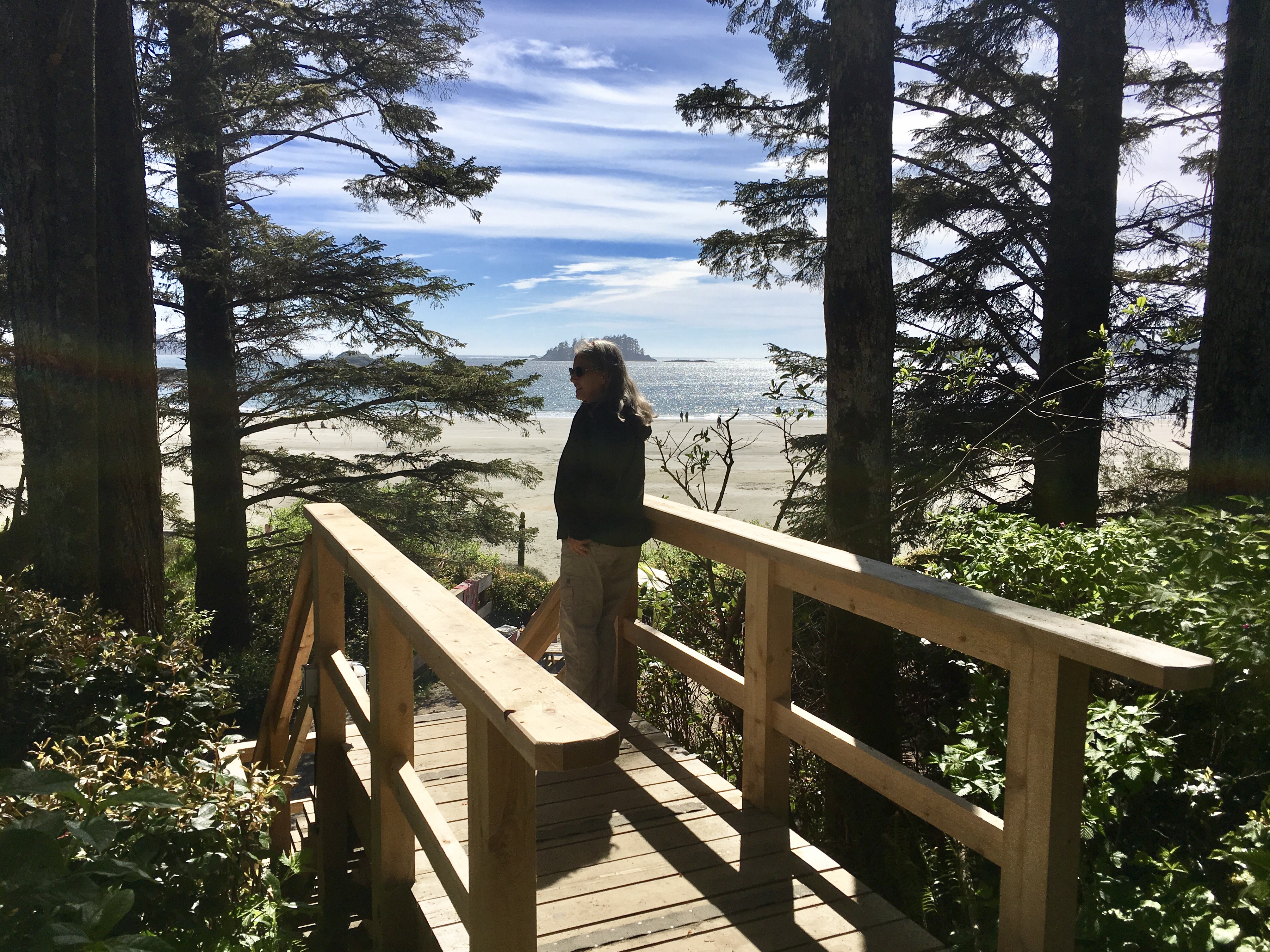
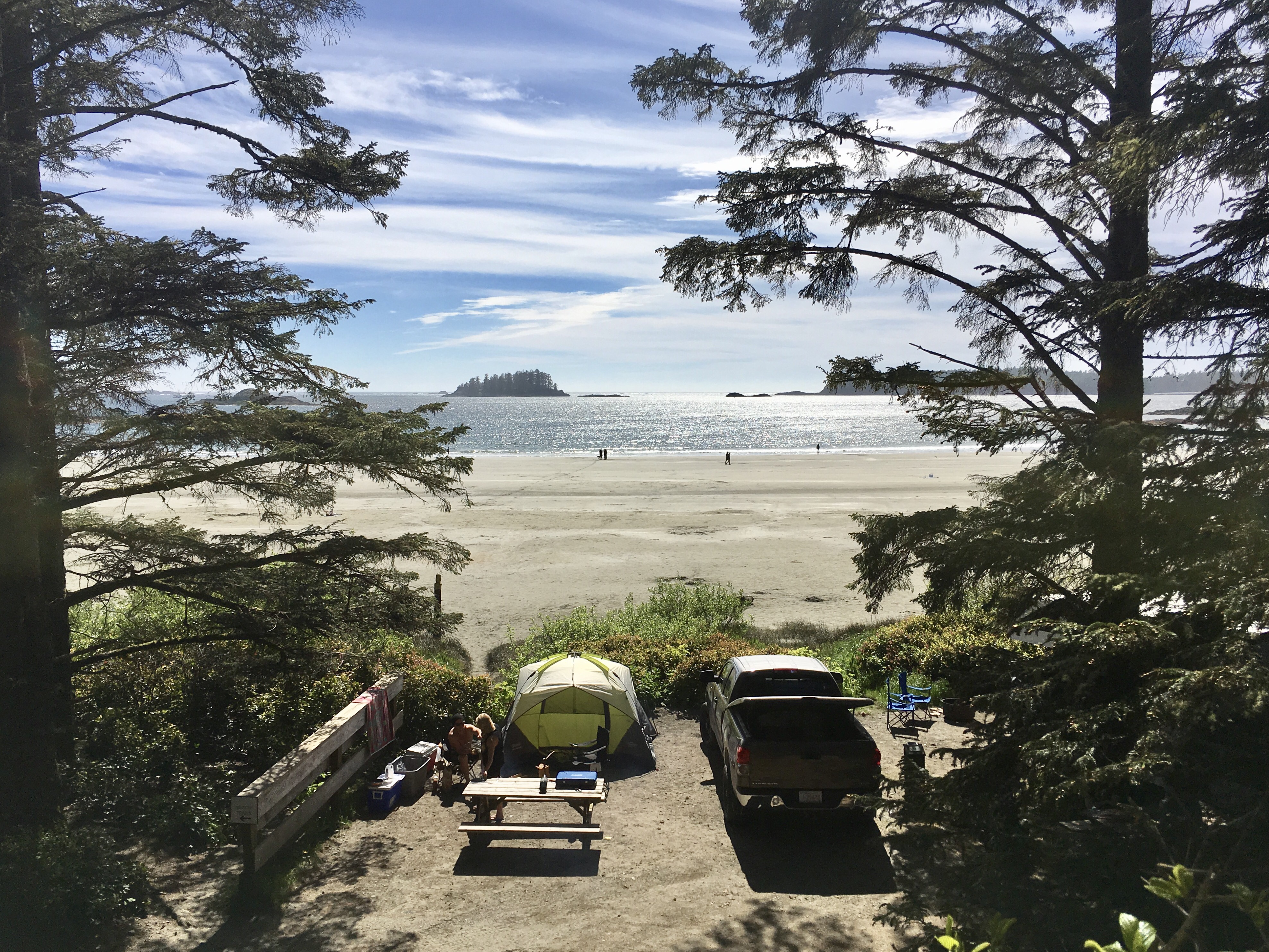
No, that’s not us in the picture, above; we’re parked nearby in our RV, complete with full hookups.
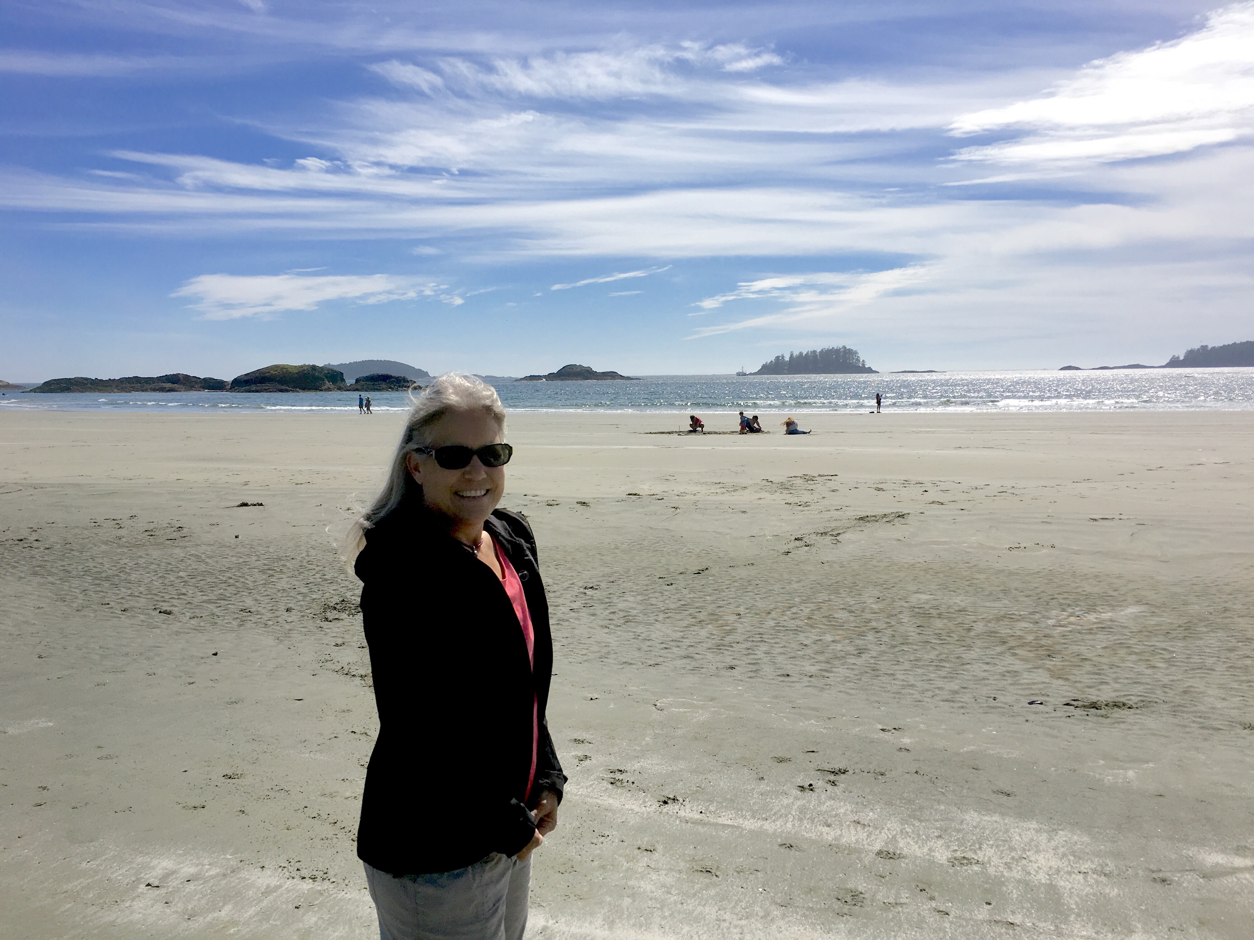
We had time for a short walk on the beach…
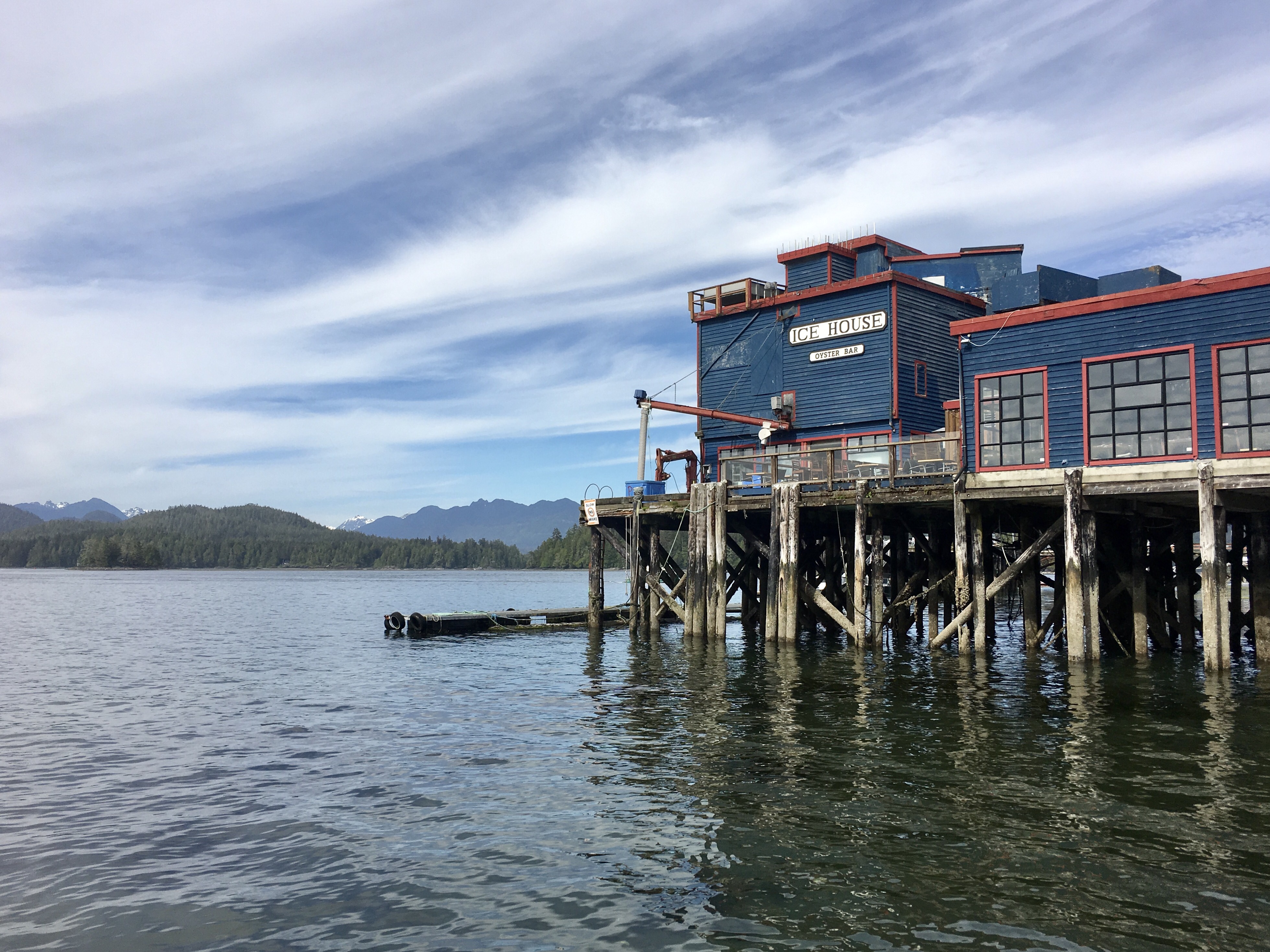
… before seafood with a view.
Early to bed after a long day of driving.

Pingback: Flattery Will Get You Nowhere | The Road Less Traveled