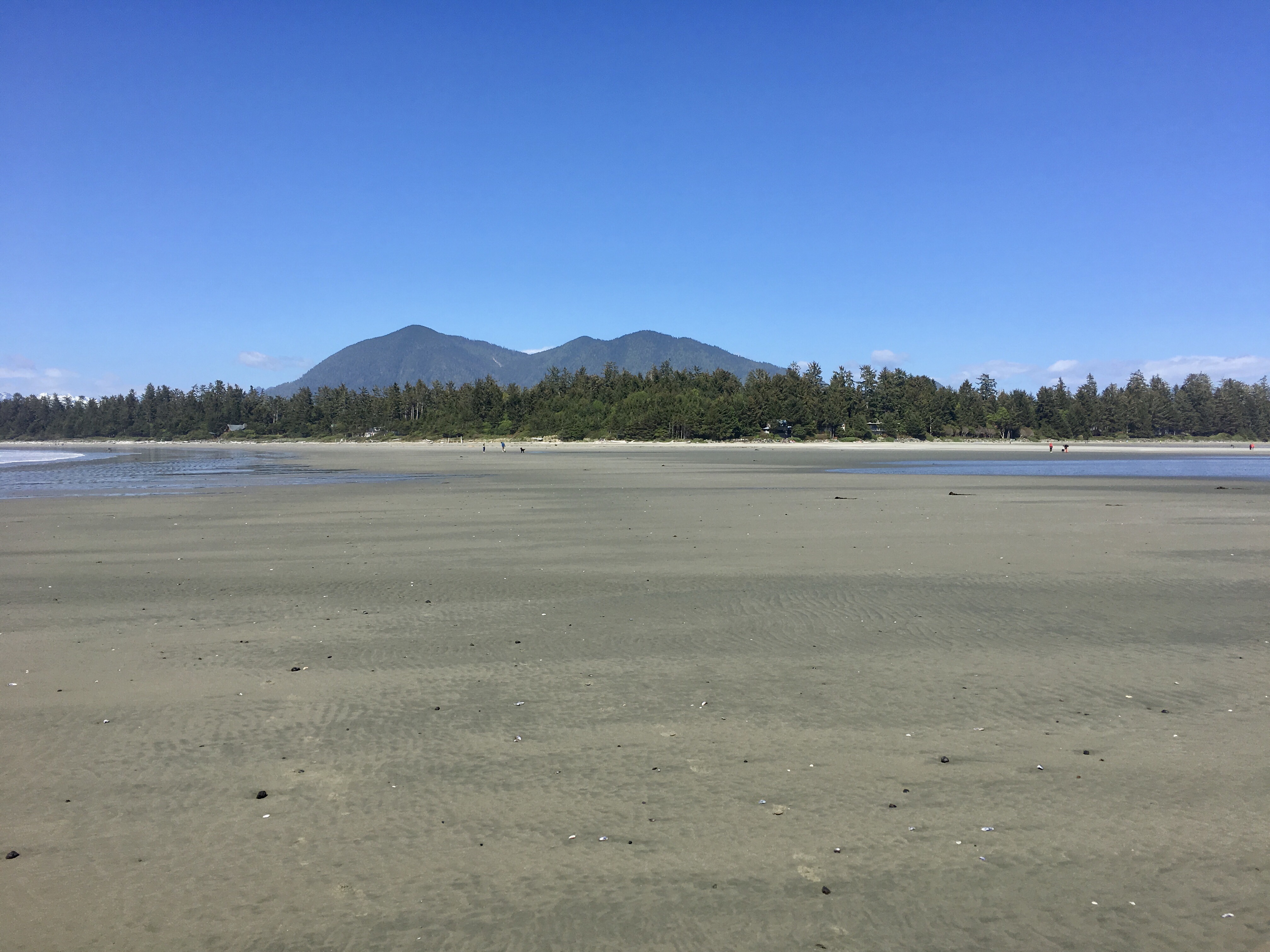
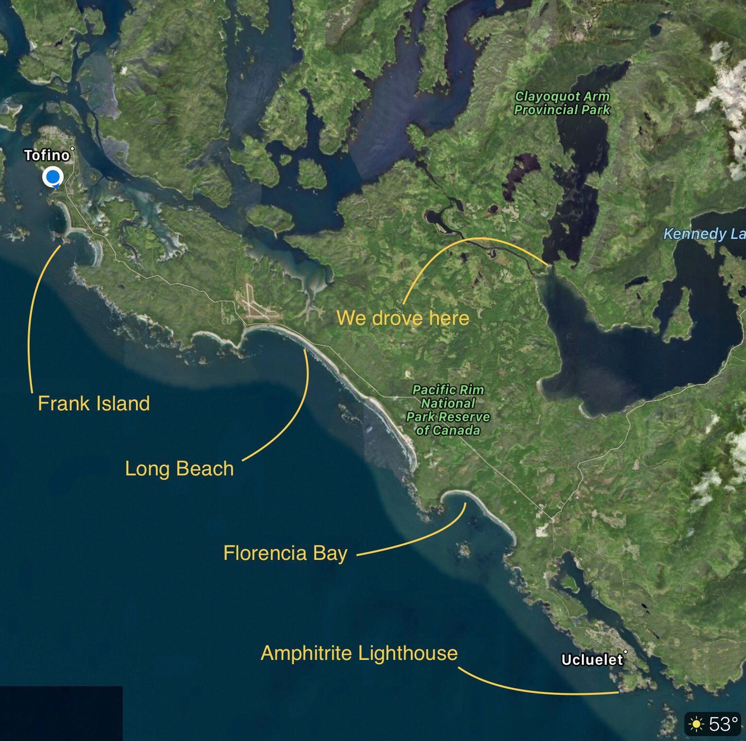
We scheduled our day so that we would end up back at the beach at low tide. Dale had discovered during her planning for this trip that there’s an offshore island that’s accessible from the Chesterman beaches via a sand spit that is high and dry when the tide is out. The island is called Frank Island and I’ve located it on this map, along with the other sites we’ve visited so far; we’re camping at the blue dot on the left:
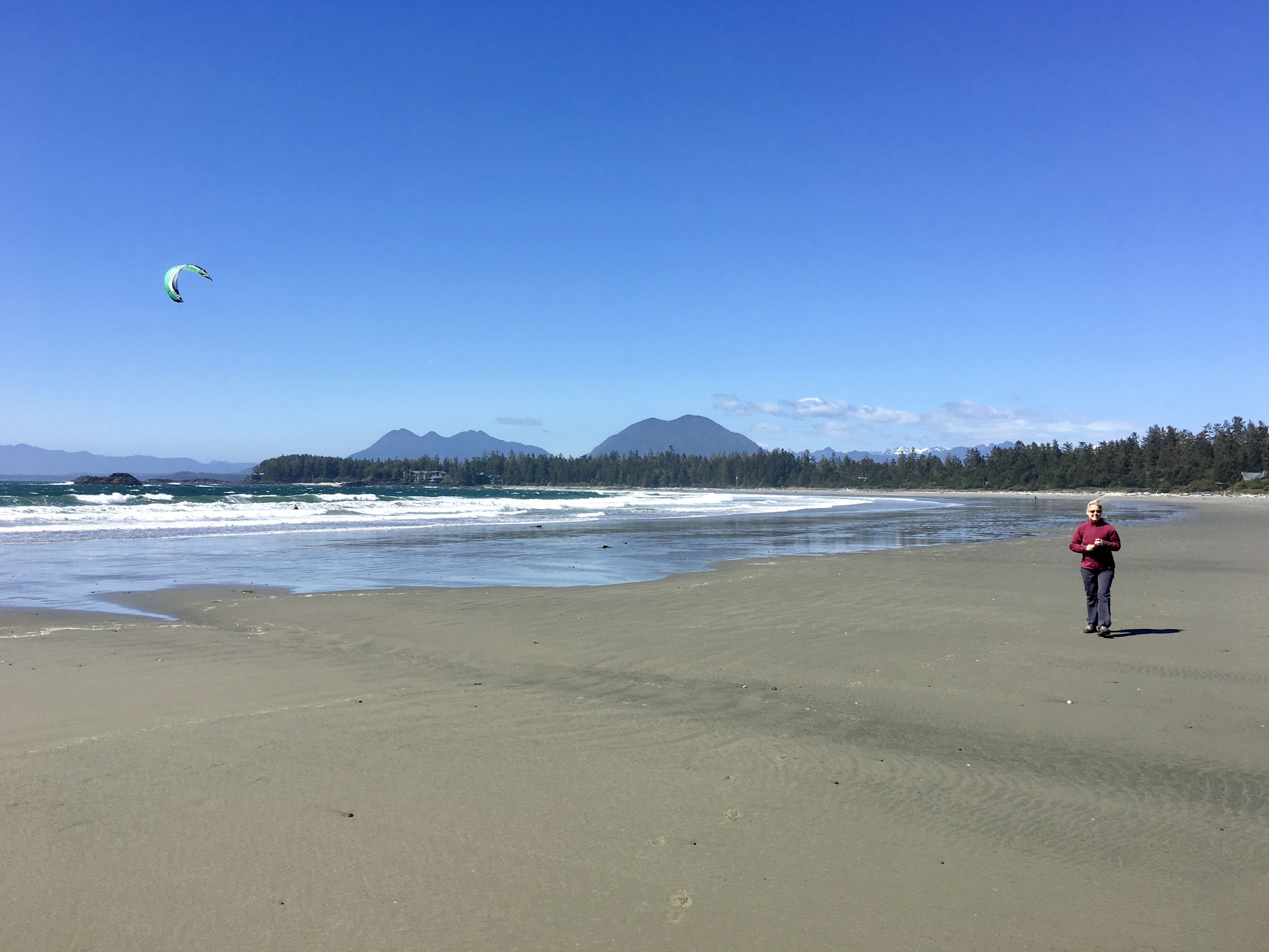
As the day wore on, the wind increased, reaching 25 knots, more or less, and there were gale warnings both up and down the coast. This was perfect for the kite surfers that were arriving at the Chesterman Beach access trail at the same time we did. Here’s the view that greeted us as we emerged from the trail. That’s Frank Island in the distance (on the left).

We anxiously watched the kite-surfer in the photo above get his rig laid out, then airborne as he walked it out into the breaking surf and took off.

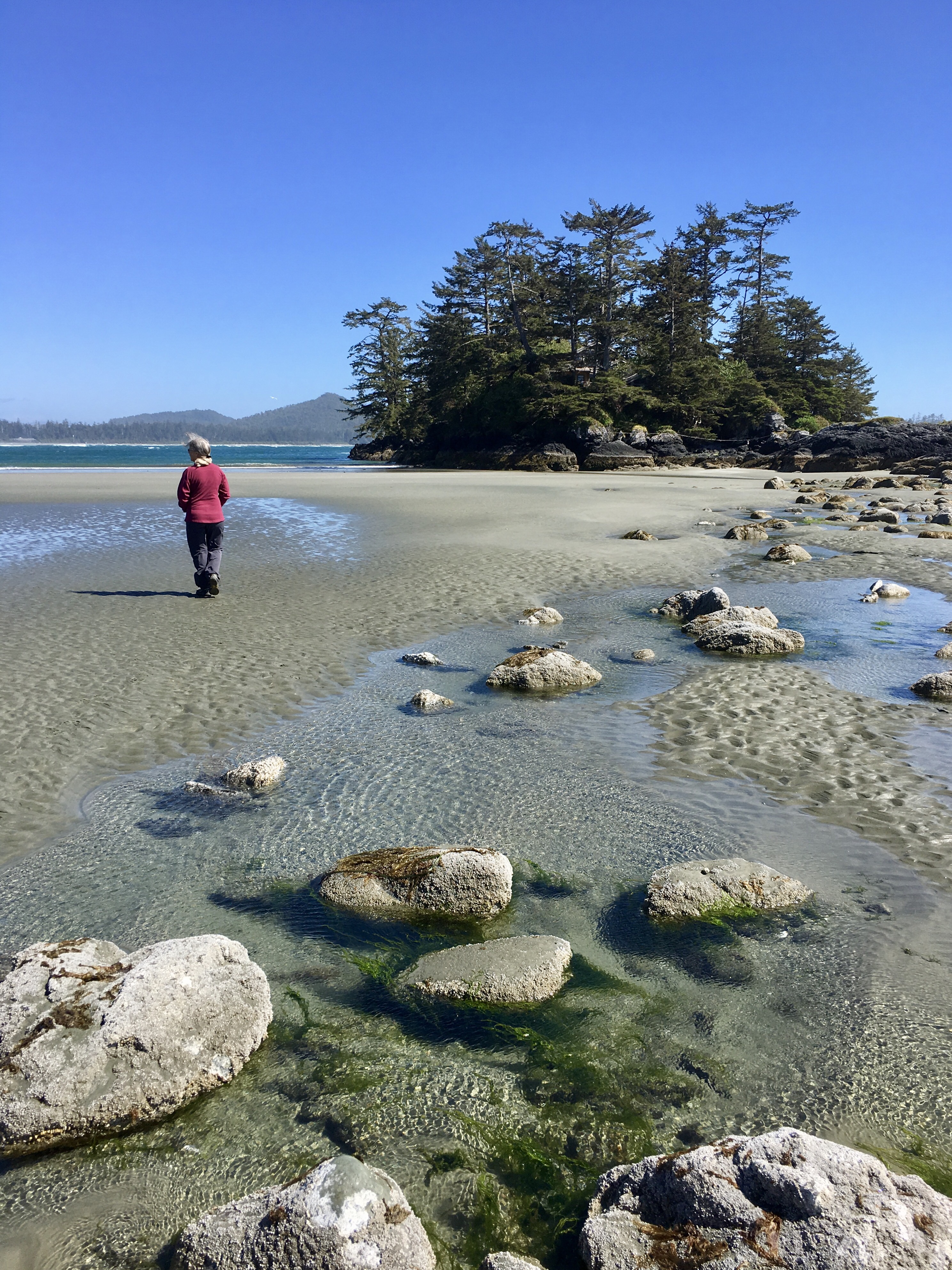
We continued our walk across the sand spit out to Frank Island. I bet this is a great surfing spot at high tide.
When we reached Frank Island, we discovered that it is privately owned and not accessible to the public, so we stayed on the public tidal lands and walked around admiring the place. By the way, there’s a house on that rock that you can rent, the Tombolo Studio.
Then we started the long walk back to shore. And now you can see why you need to check the tide tables before strolling out to Frank Island. It would be a long swim back to shore.