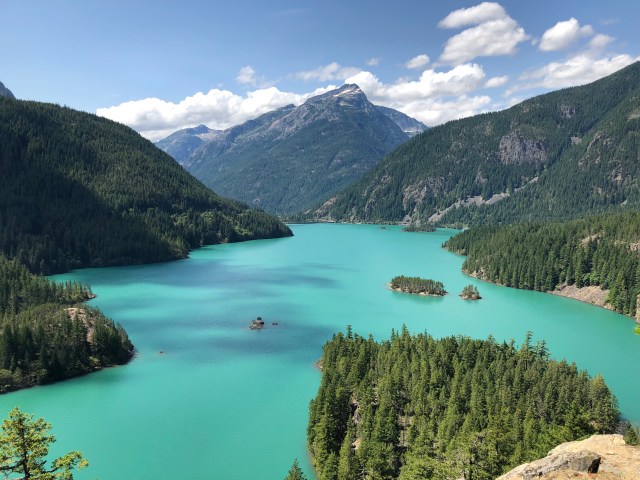
On the way back to the campground, we stopped at Diablo Lake Overlook to see what was in store for us the next day. The water in Diablo Lake is milky, rather than translucent like that of Ross Lake, because Diablo is fed by silt-carrying glacial meltwater from the Neve and Colonial Glaciers via Thunder Creek.
The next morning, we drove west to the service road down to the Diablo Dam, which is also the access to the Cascades Institute, an environmental learning center and resort. We drove across the dam, stopping on the other side to take the photo, below, surprised to see workmen down on the riverbed inspecting the structure:
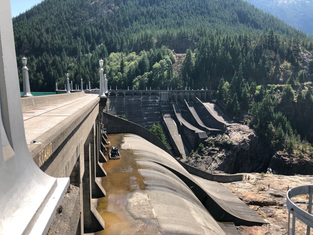
There are actually three dams in the Skagit River Hydroelectric Project, all owned and operated by Seattle City Light. Starting downstream at Newhalem and progressing upriver, they are: Gorge Dam (built 1921-23, on line in 1924 generating 208MW); Diablo Dam (1927-30, on line 1936, 190MW); and Ross Dam (1938-49, on line 1952, 450MW). Today, the three dams collectively produce nearly 1,850 megawatts of power hourly, which is more than twice as much as their original capacities and 20% of all the electricity used to energize the city of Seattle.
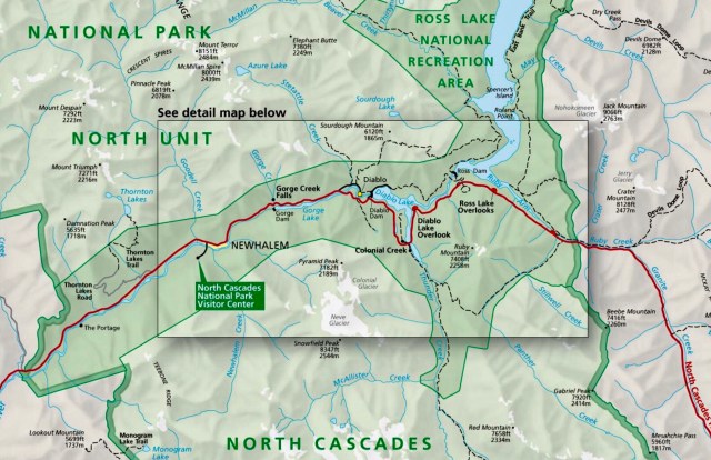
Seattle City Light also operates a ferry twice daily that runs the length of Diablo Lake. We caught the 8:30 a.m. ferry from Diablo Dam to Ross Dam, planning to hike back on the Diablo Lake Trail on the northern side of Diablo Lake, shown on the map, above.
The ferry arrived right on time and we boarded together with another hiking family and a group that was headed to Ross Lake Resort for a few days.

Although the Skagit River runs from Ross, Diablo and Gorge Lakes south and west to the Pacific Ocean, geologists theorize that the water stored in these mountains used to flow north into what is now Canada. During a past Ice Age, the Cordilleran Ice Sheet descended from the higher latitudes, blocking the flow of water northward and forming lakes until the water rose high enough to overflow the mountain ridge that used to exist here. The overflowing water eventually eroded the gorge that anchors the dams that today form Ross, Diablo and Gorge Lakes.
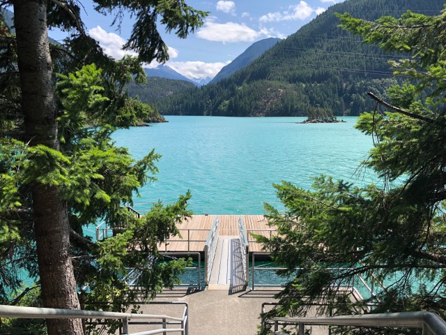
Ferries and barges plied Diablo Lake in the 1930s and 1940s taking materials and laborers upstream to build the Ross Dam. Our ferry followed the same route, although the positions of the docks have changed over the years. We approached the dock to disembark…
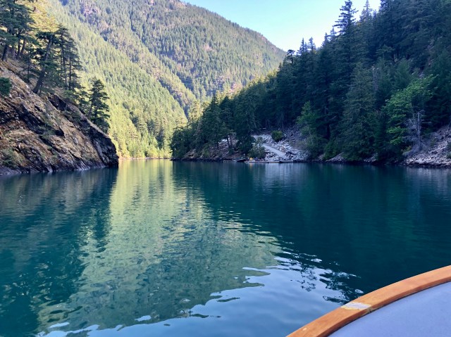
… then walked up the road to the Ross Lake power plant at the base of Ross Dam and across a suspension bridge to the other side of Diablo Lake to begin our hike.

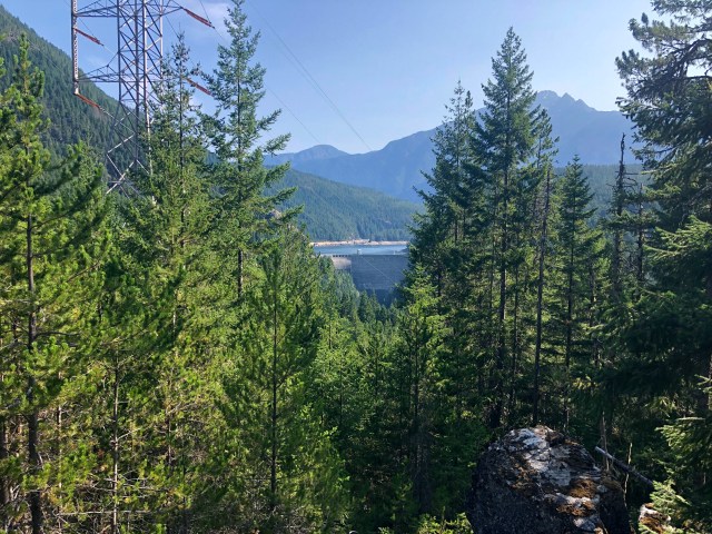
The Diablo Lake Trail begins with a fairly strenuous switchback ascent of 1,500 feet, about a third of the way up Sourdough Mountain. The trail then heads southwest along the side of the mountain at that elevation, crossing the power-line leading up from the Ross Lake power plant.
As we hiked, I noticed fresh deer tracks on the trail and we soon came upon a doe and her fawn, who bounded off into the woods ahead of us (photo, below, bottom right).

At a second power-line crossing, we looked back to see Ross Lake Resort and Ross Dam:
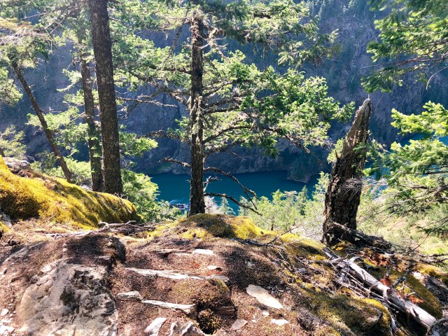
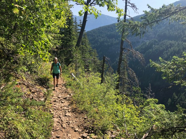
Although you can’t tell from the photo, below, at this point there was a sheer drop off of over 1,000 feet from a slip on the trail.
Maybe this will give you a better perspective. That’s the gorge we motored through on the ferry.
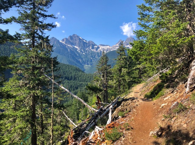
The trail frequently broke out into the open. Across the valley, we could see the bridge over Horsetail Creek.
There was shade at times…
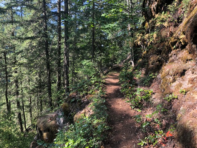
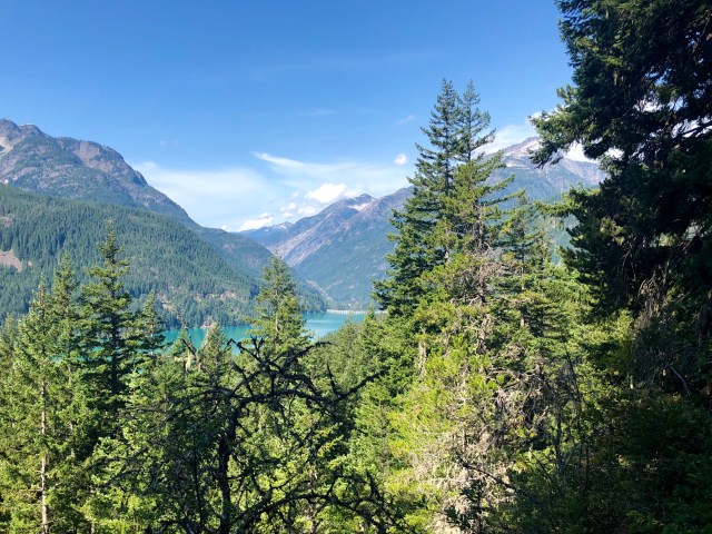
… and once in a while we had a nice view of Diablo Lake and the surrounding mountains.
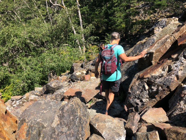
Toward the end of the hike, we came upon a rockslide that had taken out a short section of trail. As we scrambled over the rocks, another couple appeared heading toward us; the only other hikers we had seen.
The trail ended at the Cascades Institute, then followed the road along lake’s edge back to the dock and our waiting Jeep: a 5.5 mile hike, 1,550 ft elevation gain.
After returning to the RV for lunch, we drove east on WA-20 to Winthrop for an early dinner. On the way, we stopped at the Horsetail Creek bridge (photo, below, top left) and looked across the valley to see where we had hiked that morning on the side of Sourdough Mountain (top right):
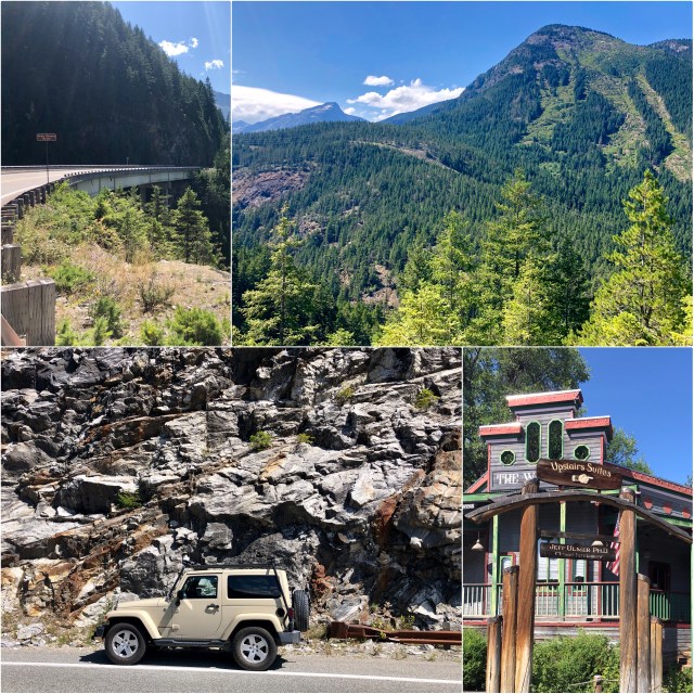
Walking around Winthrop that afternoon, a western-themed town east of the Cascades, we discovered that we were not the first Ulmers to visit.
The next day, we lounged around the campground before returning to Bellingham. It was a nice couple-day get-away and prelude to our upcoming RV trip to Colorado, Utah and Arizona!
