Just outside of Bryce Canyon NP, in the Grand Staircase-Escalante National Monument, is a hidden gem of a trail, widely known to the locals, but kept secret from the multitudes of tourists visiting the nearby National Park.
Since only a handful of people read this blog, I’m going to let the cat out of the bag: if you visit Bryce, make sure you hike the nearby slot canyon known as Willis Creek.
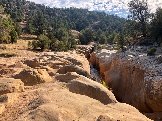
Willis Creek canyon is about 10 miles south of Cannonville on a combination of paved, gravel and dirt roads. There’s a dirt parking area at the trailhead and a sign describing the hike, reminding hikers to stay hydrated, and warning about flash floods in the canyon, proclaiming in big letters: “You Could Die Out Here”!!!
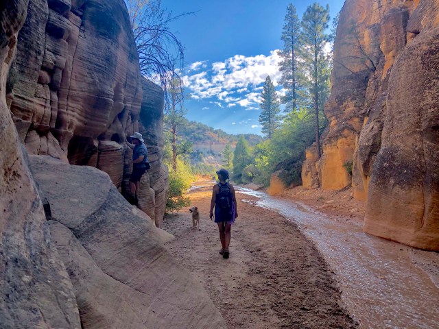
Here’s what the entrance to the trail in the stream bed looks like:
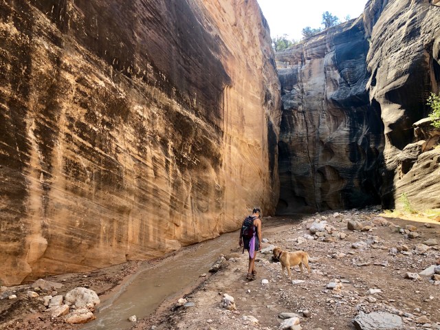
We readied ourselves and climbed down to begin our hike downstream, Daisy in the lead.
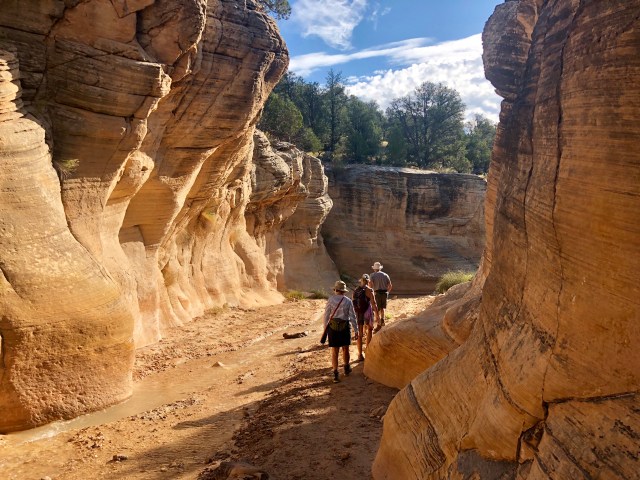
As we walked along, the stream bed and canyon meandered as the canyon walls changed in appearance, texture and composition. At some points, the canyon was 30 feet wide; in others, it was possible to simultaneously touch each wall with arms outstretched.
As explained by the sign at the trailhead:
Where slots form is determined by the competency or hardness of surrounding rock. Narrow canyons develop where water cuts through harder rock layers; whereas wider sloped canyons are created in softer rock units. In Willis Creek, slots formed in the hardest layer of both the Page and Navajo Sandstones, where sand grains are cemented with mineral such as calcite, silica, or even iron.
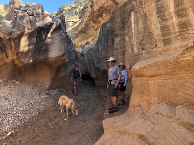
The depth of the canyon also varied, although it was normally at least 30 feet from the stream bed to the surface, above. For the most part, we were out of the sun and able to avoid getting our hiking shoes wet since the water volume at this time of year is minimal.
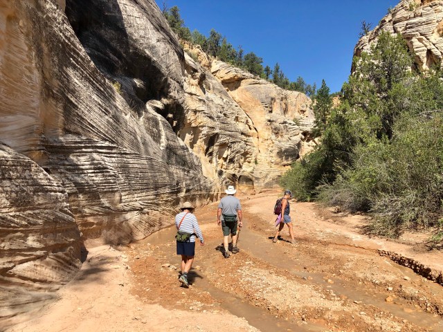
Occasionally, the canyon walls fell away and we stepped out into sunshine, but most of the hike, thankfully, was in the cool shade of the canyon.
Once or twice we had to climb out of the canyon to avoid a small waterfall or narrows,…
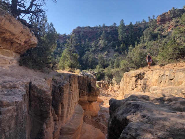
… but we would then backtrack to see what we had missed before continuing downstream.
Dale and I have visited the famous Antelope Canyon near Page, Arizona, but we enjoyed Willis Creek more because we had it all to ourselves, rather than being shuttled along, elbow to elbow as is the case in the popular, commercialized slot canyons elsewhere on the Colorado Plateau.

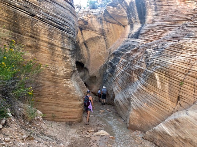
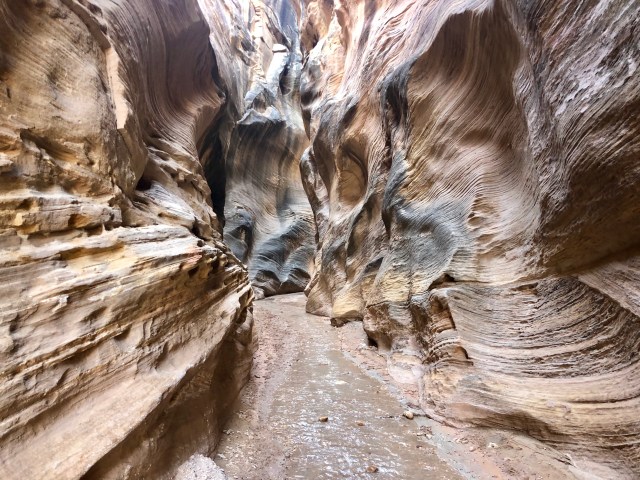
The sandstone strata is really accentuated where the water has run fast and furious through tight slots of harder rock:
Toward the end of the hike, we came upon this vertical shear (left) which steers the force of the flowing water into the opposing canyon wall (right) and through the narrow slot, discarding waterborne debris as the flow is restricted and the water backs up.
About a mile in, there’s a junction with another slot canyon from the left known as Averett Canyon. From this point, the trail continues down Willis Creek another mile or so. We opted, however, to turn around at the halfway mark in order to have time to drive to the nearby state park in the afternoon for another hike. Back upstream we go!
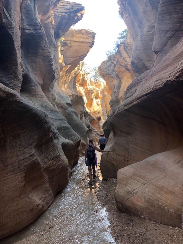
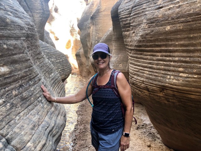
At times, the colors and contours of the canyon walls were hypnotic. Nature imitating art.
Back near the trailhead, Jim decided to cool off at the base of a small waterfall.

Refreshed, we climbed back into the car and headed east to Kodachrome Basin, the state park.
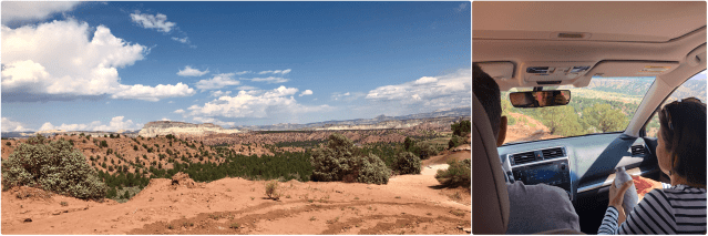
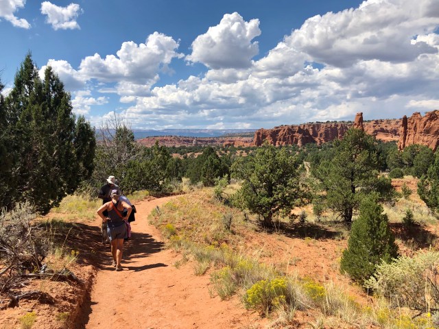
Kodachrome Basin State Park is definitely worth a visit, but there’s little shade and when we arrived, little breeze, making for a pretty hot trek. We parked and headed out on the Panorama Trail,…
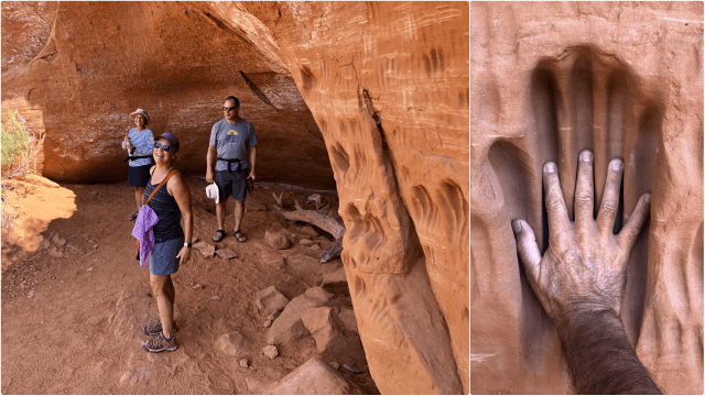
… stopping at the “Indian Cave” for a brief respite from the blistering sun. We were not the first to visit this place; apparently, giants preceded us!
The main attractions at Kodachrome are the 67 rock columns known as “sand pipes” and one of the best examples is the Ballerina Spire on the Panorama Trail, below:
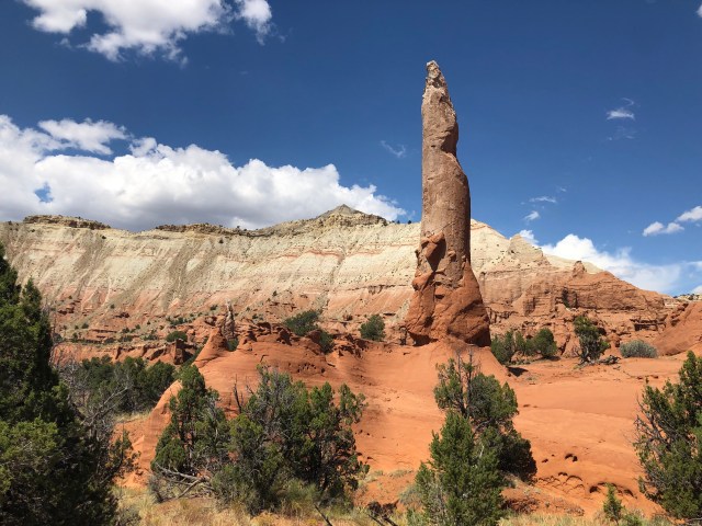
There are several theories about how the sand pipes were formed, but the one I like best is this one: as the weight of accumulating layers of sediment created pressure on water-saturated pockets below, the rising slurry worked its way to the surface through the soft, upper layers, then dried and hardened. As the softer, surrounding sandstone eroded over time, the cemented slurry remained. Voilà, sand pipes!
Ultimately, the heat of the day drove us back to the car and then Jim drove us back to town. Tomorrow, we’re off to the Grand Canyon!

I love that – we were at Antelope Canyon during the summer which was great but the idea of doing our own thing really appeals. If I’m ever lucky enough to get to the region I’ll definitely be heading here!
LikeLiked by 1 person