The better part of Saturday was spent in the Mount Pleasant airport, 35 miles from Stanley, waiting for our flight back to Punta Arenas, Chile. The plane was full of returning journalists, Russian fishermen and scientists from the Antarctic Survey teams.
The flight was uneventful and we got to our hotel around 7:00, took a little walk through Punta Arenas, had dinner and went to bed early, exhausted from having done nothing but sit all day.
Sunday was to be another travel day, this time a 9-hour bus ride to Ushuaia, Argentina, the southernmost city in the world.

Leaving Punta Arenas, we drove north and then east along the Strait of Magellan which separates mainland South America from the islands that make up the archipelago of Tierra del Fuego.
After about three hours, we reached the ferry crossing over the Straits. The ferry landing was unlike any I had ever seen; more like a landing craft beaching.
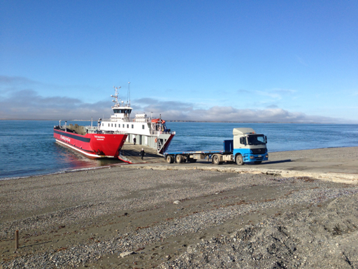
The landing wasn’t much more than the road running straight into the water, and there were some mighty big vehicles loading, too, including our bus.

The Straight of Magellan is how any shipping not using the Panama Canal transits (or before the building of the Canal, would transit) from the Atlantic to the Pacific or vice-versa, though long ago, in the years of exploration and whaling, sailing ships would go all the way around the southern end of Tierra del Fuego, “rounding the Horn,” one of the most treacherous passages known to shipping.
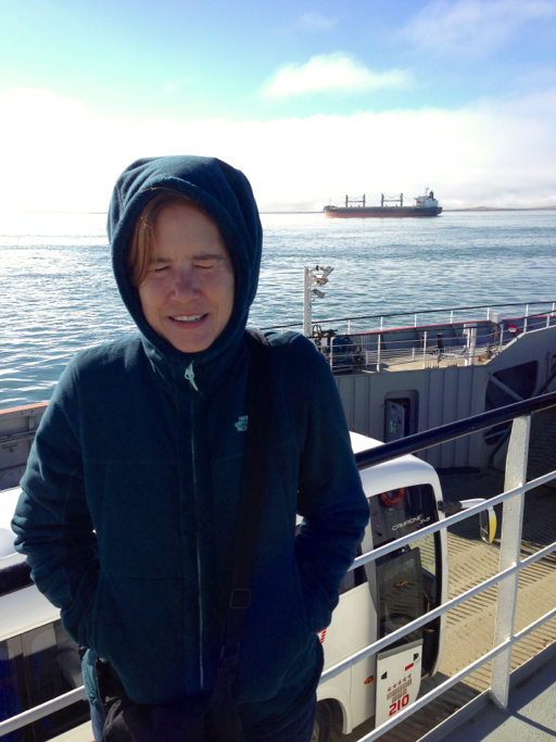
As you can see in this picture, the Strait of Magellan is still used by big freighters and tankers today (open your eyes, Dale!).
Once on Tierra del Fuego, the road quickly turned to gravel, then dirt, then to just a single-lane dirt road,…
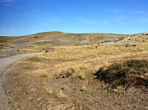
…continuing that way for the next three hours as we traveled through the arid pampas and hills past the occasional estancia,…
…often catching sight of herds of guanáco, off in the distance, or frequently, right on the edge of the road.

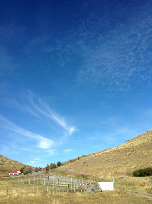
Supposedly, these southernmost islands were named Tierra del Fuego, “Land of Fire,” because of the fires lit by the natives that were witnessed by the Spaniards at sea in their galleons.
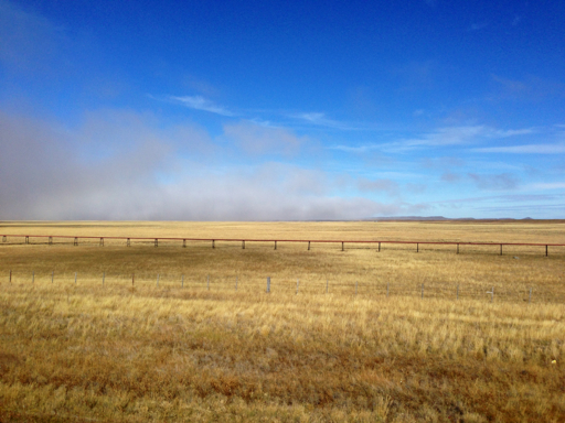
As we drove across Isla Grande de Tierra del Fuego, the big island, the horizon was covered by low-lying, fog-like clouds that looked like smoke floating above the land. So maybe, as the guidebook says, the place would have been better named Tierra del Humo, “Land of Smoke.”
(Notice the above-ground oil pipeline in the foreground; though we didn’t see many oil wells, oil production is one of the economic engines of Tierra del Fuego).
Tierra del Fuego is split in half from north to south between Chile and Argentina. The Argentine side is only accessible by land through Chilean territory. A little past the halfway point of our journey, we crossed the border into Argentina and the road was once again paved.
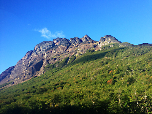
As we neared the southern part of Isla Grande de Tierra del Fuego, the terrain changed rapidly from pampas to forested hills…
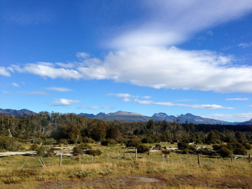
…to mountain foothills…

…to craggy cliffs and snow-capped mountains.
We reached the Fin del Mundo, the “End of the World,” the southernmost city of Ushuaia, at 6:00 p.m., to find that our remise – our prepaid taxi – did not show up, so we hiked uphill about a mile with our suitcases to our B&B, Mysten Kepen.
After stowing our luggage in our room, we walked back down to the waterfront and treated ourselves to a meal of the local specialty, King Crab cazuela (casserole).

It was worth a 9-hour bus ride and a 1 mile uphill hike with suitcases. The Argentinian white wine called Torrontés was pretty good, too!
