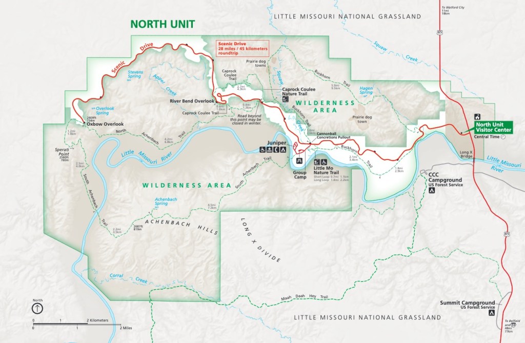
The Little Missouri River is the thread that stitches together the three separate units of Theodore Roosevelt National Park. The river rises in northeastern Wyoming near the Devil’s Tower and from there snakes generally northward into the Dakotas, passing through Medora into the South Unit of Theodore Roosevelt NP. It continues north from there another 60 miles to the North Unit of the Park, where it bends east to flow into Lake Sakakawea and the Missouri River. The North Unit is predominantly a designated Wilderness Area.
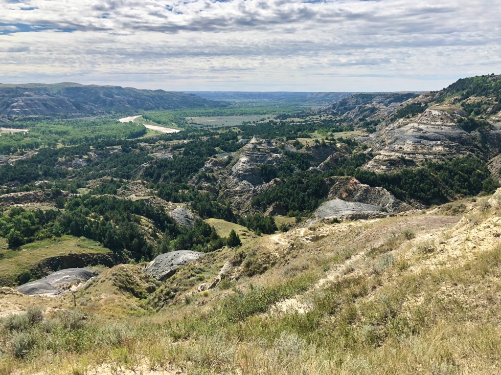
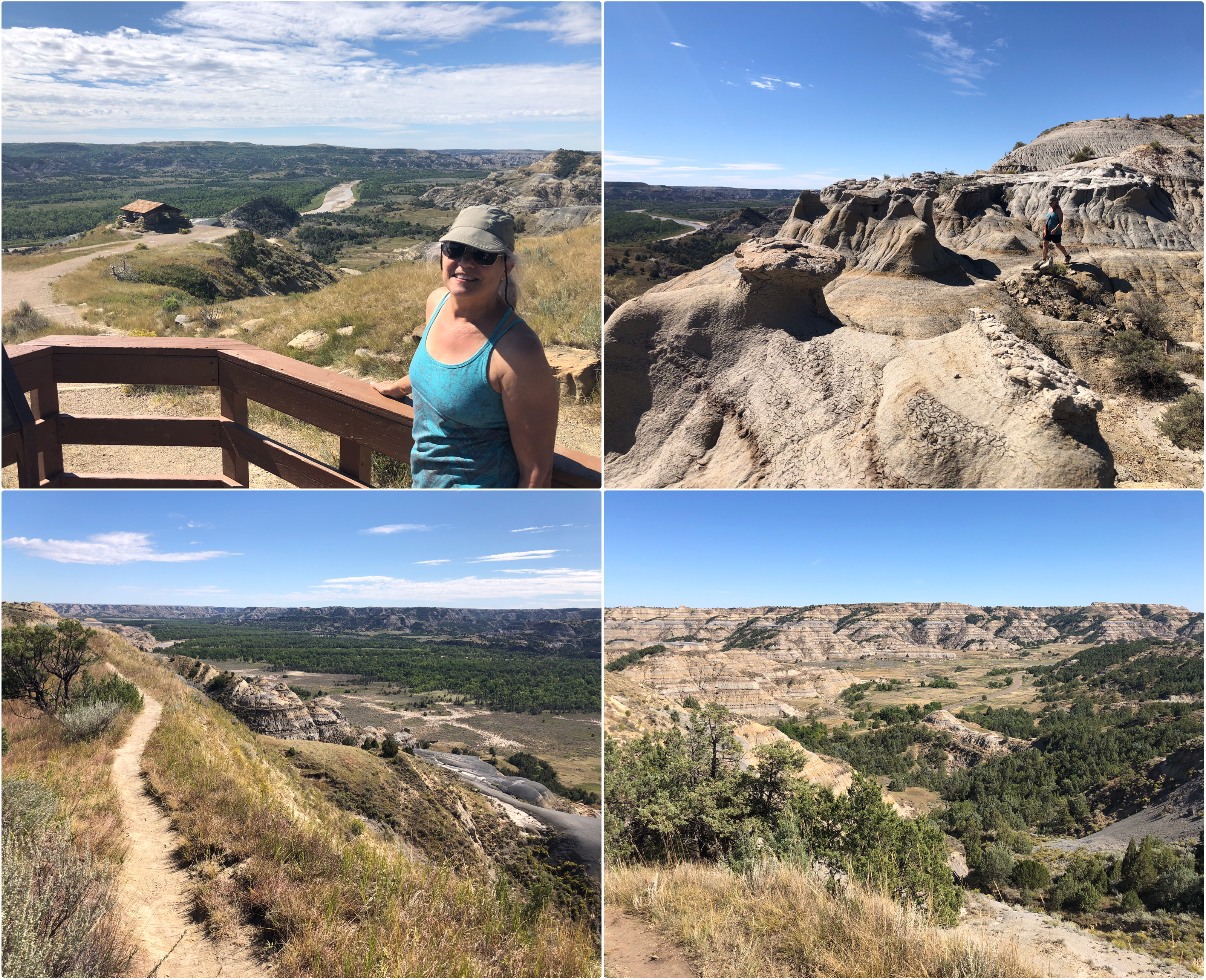
We had in mind two things to do in the North Unit: drive the scenic road (28 round-trip); and, hike the Caprock Coulee Trail. Upon entering the North Unit on the scenic road, we stopped briefly at the River Bend Overlook where we could see how the course of the Little Missouri had been altered thousands of years ago by the Laurentide Ice Sheet when it halted its descent from the north here (North is to the right in the photo, below):
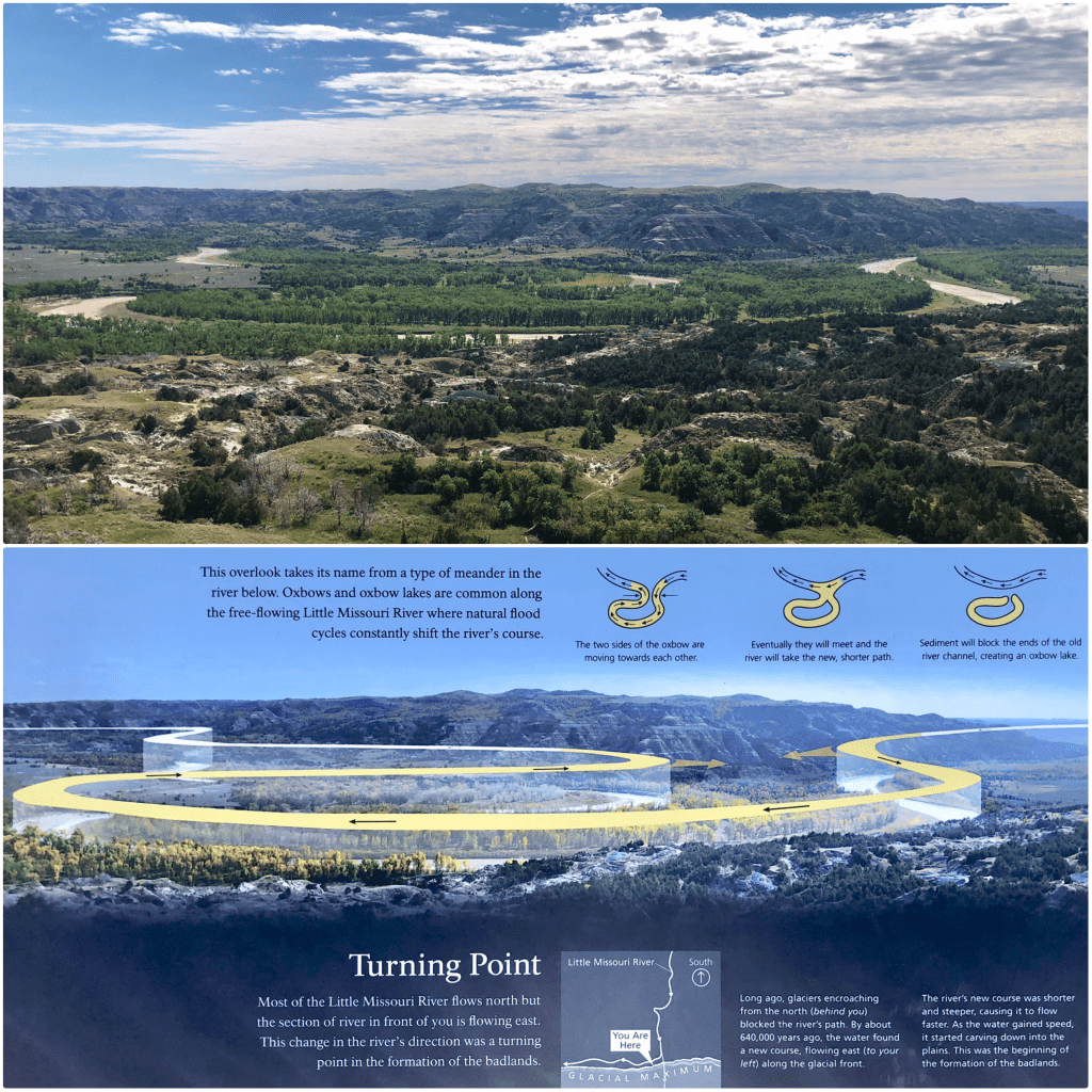
If you were to look at an aerial photo, you would see that the Little Missouri River meanders throughout the course of its flow north, constantly shifting and ocassionally filling back upon itself, like here at the end of the scenic drive at Oxbow Overlook. It is expected that eventually the river will find a more direct route here and this section of the river will be “clipped” off and isolated when it does:
From where I took the photo, above, at the Overlook, I turned around 180° to face north where we could see how the terrain had been completely flattened and stripped by the glacial advance and retreat of the last ice age:
Back in the car, we returned east past River Bend Overlook to the parking lot for the Caprock Coulee Nature Trail which is the first 0.8 miles of the longer Caprock Coulee Trail. We were hiking the entire Caprock Coulee Trail, a 4.1 mile loop through a mixture of deep coulee and juniper forest:
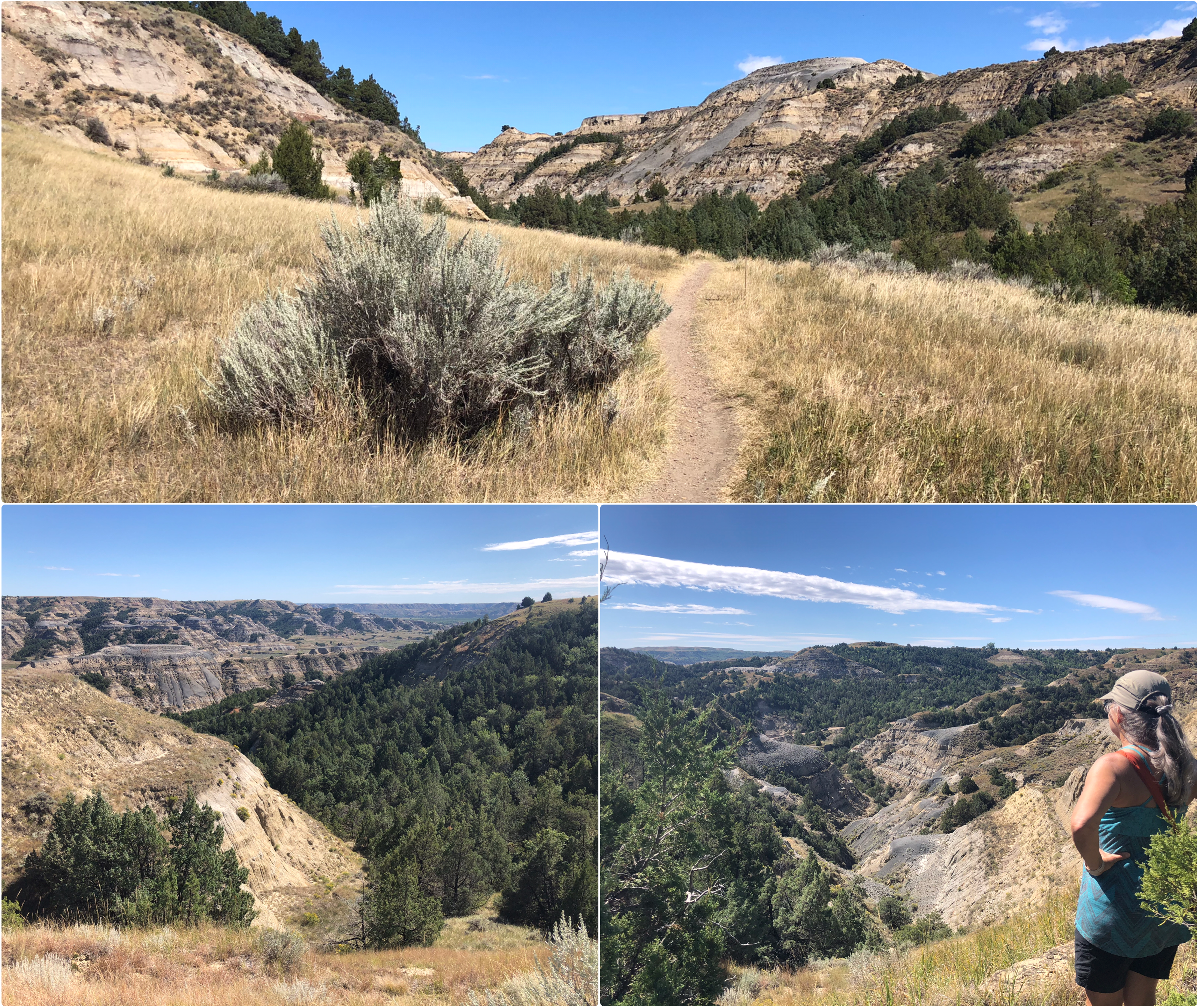
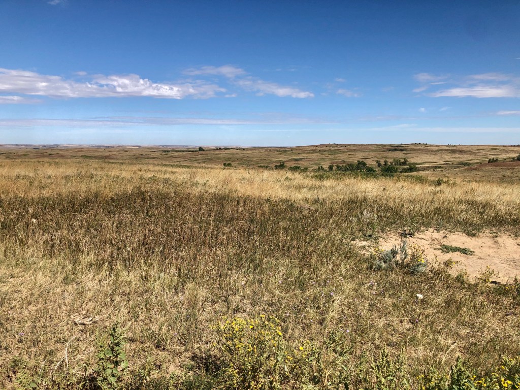
From the coulee, the trail climbs to the top of the plateau where it continues across open, sun-baked prairie with beautiful vistas of the North Dakota badlands:
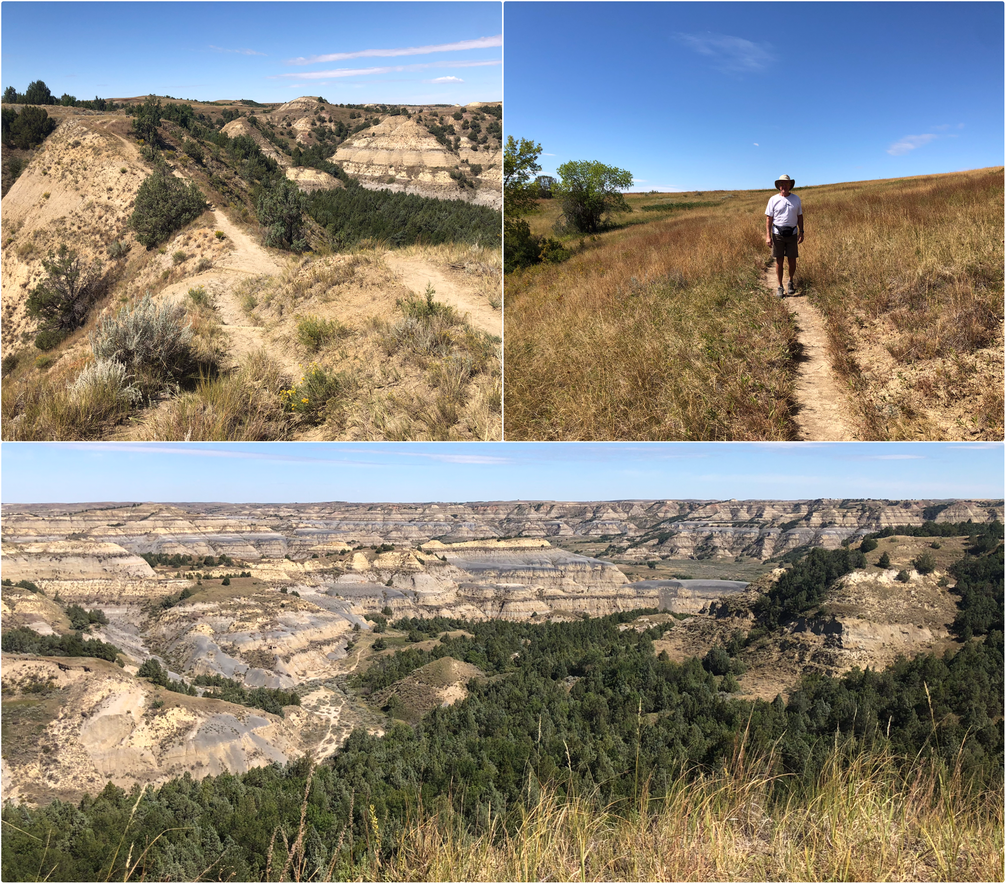
At the half-way mark, the trail crosses over the scenic drive, then follows the road to the River Bend Overlook (photo, below, top left). A little farther along, the trail leaves the road and runs out to the edge of the plateau, then continues parallel to the Little Missouri River along the edge of the plateau before descending to the road and back to the parking lot (lower right), from which we left the Park:
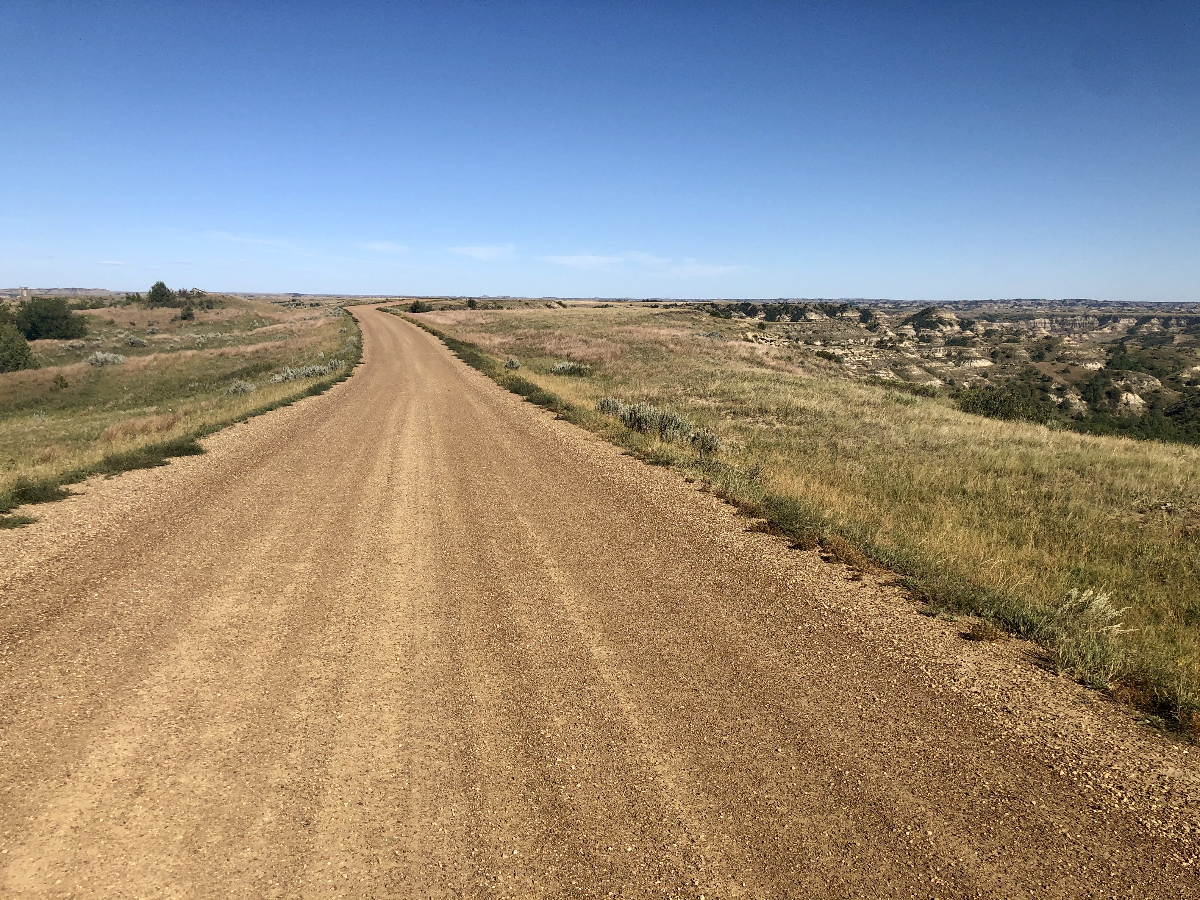
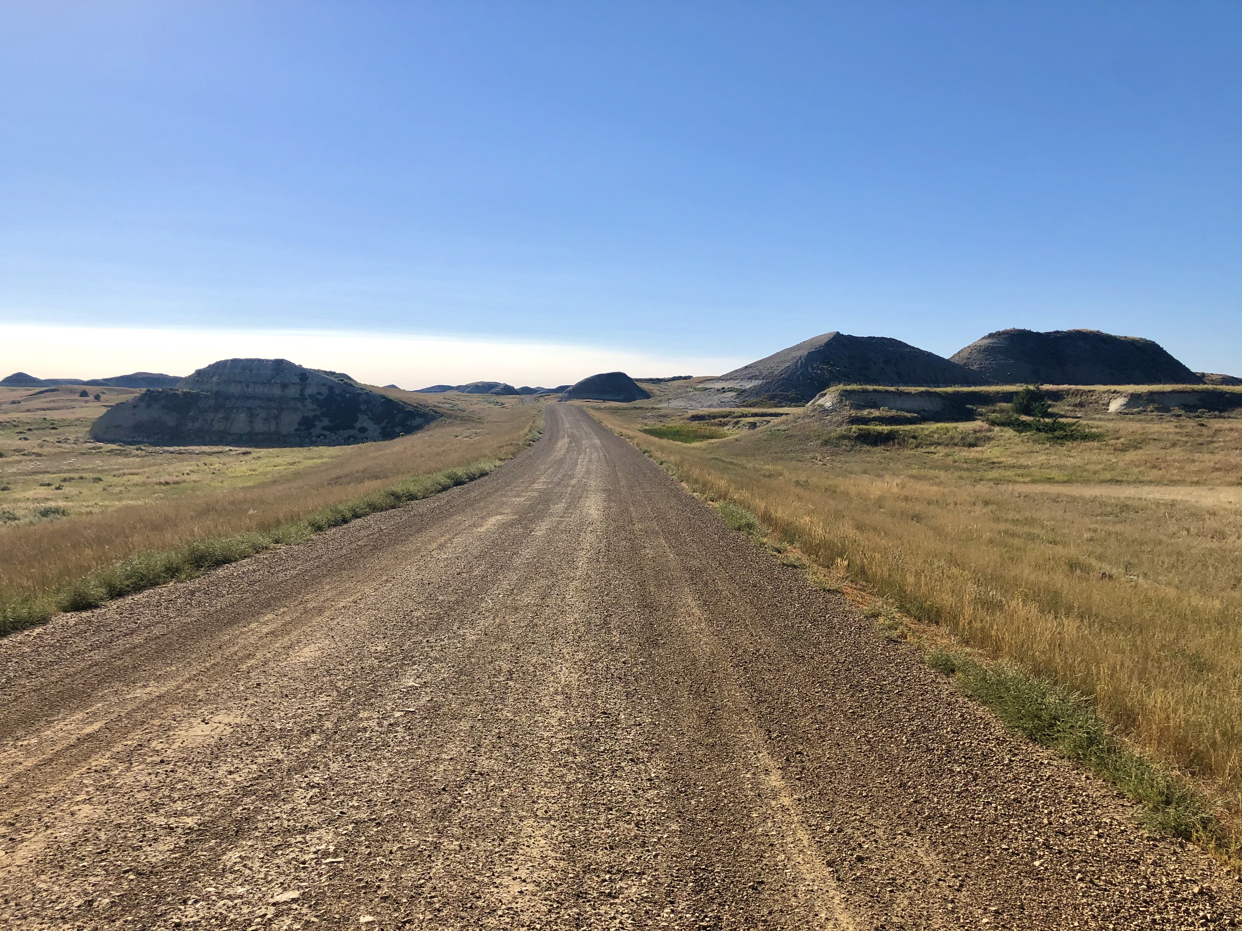
We ate lunch in the Jeep as we headed to the “center unit,” Teddy Roosevelt’s Elkhorn Ranch (map, below, left). It’s a long, desolate drive, regardless of whether you approach it from the north (like we did) or from the south. Either way, plan to spend a couple hours driving on dirt roads in the middle-of-nowhere to get there:
Theodore “Teddy” Roosevelt (1858-1919; U.S. President 1901-1909), has left his mark all over the northern Great Plains. We first encountered him in Cody, Wyoming, where his saddle is on display at the Buffalo Bill Center of the West, then here in North Dakota at his namesake National Park, originally established in 1947 as the “Theodore Roosevelt National Memorial Park,” the only national park ever created to honor a president.
And, of course, his visage looks out over these lands today from Mount Rushmore (more on that in a future post), which is fitting for the man also known as the “Conservationist President,” the proponent of the 1906 American Antiquities Act that enabled the creation of National Monuments around the country by Presidential proclamation. Roosevelt, himself, established 19 National Monuments, five of which are now National Parks (Grand Canyon NP, Petrified Forest NP, Olympic NP, Pinnacles NP and Lassen Volcanic NP).
While some may have anticipated that the young Roosevelt, a Harvard graduate, born into wealth, would find his way into politics in his native New York (state assemblyman, 1881-1883, Governor, 1898-1900), few would have dreamed that the sickly, asthmatic child would grow up to become an avid hunter, cowboy, and owner of cattle ranches in the Wild West.
Roosevelt’s love affair with the West began in September 1883 when he traveled by rail to the newly established town of Medora in the Dakota Territory to hunt bison. The hunt was to start from the Maltese Cross Ranch near Chimney Butte, 7 miles south of Medora. The romance of the cowboy life proved irresistable to the impulsive, 24-year-old Roosevelt (photo, below, bottom right), who saw here what looked like a good investment opportunity. Although he had only been in Medora for two weeks, he purchased the Maltese Cross Ranch and then returned home to New York.
A combination of four things had turned the Dakotas into prime, open-range cattle land around 1880:
- the threat of hostile Indian attack had ended with the conclusion of the Sioux War in 1877 and the removal of the tribes to reservations;
- the Northern Pacific Railroad had reached the Little Missouri River in September 1880, providing for easy transport of cattle and processed meat products from Medora to markets in the East;
- the bison had been hunted to near-extinction (the last were gone by 1884), opening up vast grazing lands to domesticated cattle; and,
- there had been an over-production of cattle in Texas that caused prices there to fall dramatically.
The succulent grasslands of the Dakotas called and the Texan drovers listened, moving thousands of cattle north along the Western Trail from Texas (heavy dashed line on map, below) to the railroad depot and new slaughterhouse at Medora.
Within a matter of months, however, Roosevelt encountered tragedy. On Valentine’s Day, 1884, his wife and mother died from unrelated ailments. Distraught, Roosevelt left New York in June and returned to the Dakotas where he threw himself into his fledgling ranching enterprise in an effort to distract himself from his grief. He soon established a second ranch 35 miles north of Medora that he called his Elkhorn Ranch (map, below, top right). Already, Medora had become a boom town.

According to the researchers at the Theodore Roosevelt Center at Dickinson State University in North Dakota, Roosevelt
threw himself into badlands life – stopping stampedes, participating in month-long roundups, arresting thieves, punching out a drunken gunslinger in a bar, and helping to organize the region’s first stockmen’s association. In Dakota Territory, Roosevelt was transformed from a frail and somewhat snobbish New York “dude” into the more democratic exemplar of the strenuous life who became the 26th President of the United States.
But, at the end of 1886, Roosevelt lost most of his herd in one of the worst winters ever to hit the Northern Plains. The ranch was never profitable after that and although Roosevelt continued to maintain his ranching interests in the Dakota badlands, the locus of his life shifted back East where he remarried and reentered political life.
Roosevelt’s last visit to his ranches was in the summer of 1890; he sold them in 1898 before charging up San Juan Hill with the Rough Riders in the Spanish-American War. In 1900, he was elected Vice President of the United States and became President in September 1901 when Pres. William McKinley was assassinated, serving in that capacity until 1909 (he was “reelected” in 1904). He ran for President again in 1912, but was defeated by Howard Taft. He died in 1919 at the age of 60.
Finally arriving at the Elkhorn Ranch, which is bisected by the Little Missouri River, we parked and looked for the ranger’s office or visitor pavilion, but there was nobody around. In fact, there was nobody anywhere for miles. All the ranch buildings from the Roosevelt’s time are long gone, but it looked to us like replicas of the barn (marked by a set of elk antlers and a sign) and the foundation and fireplace of Roosevelt’s cabin had been erected:
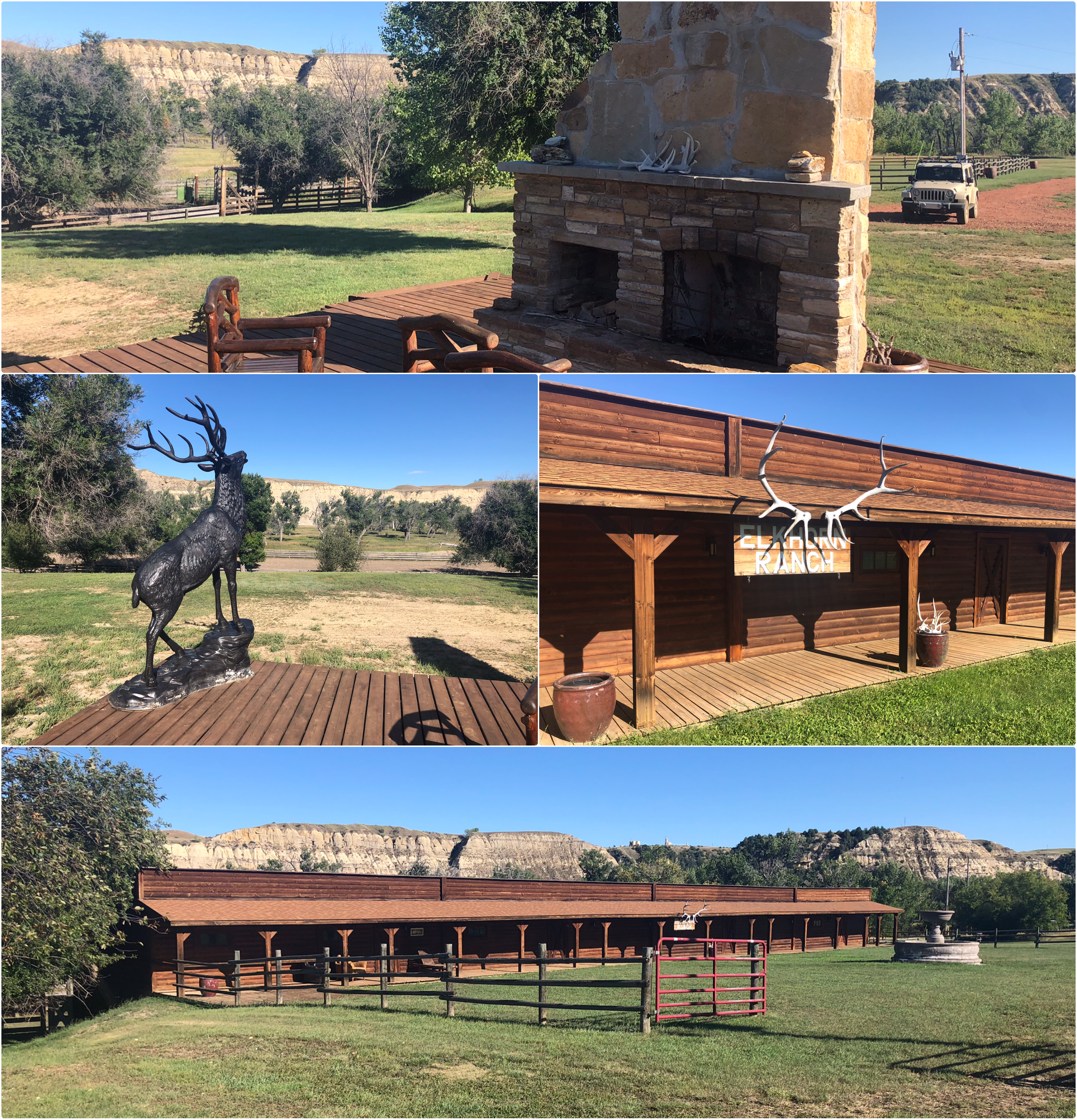
Much to my chagrin, I discovered after-the-fact that we had been misled by several signs directing traffic for the “Elkhorn Ranch” to this site (at the top right of the yellow line, below), but the real Elkhorn Ranch (the blue camera icon, below) is actually 1.5 miles to the south! And whoever owns this place has even laid out the buildings just like they’re shown on the Park Service website for the Park, right down to the location of the well (the fountain in the photo, above)!

I have searched and searched trying to find out anything about the “Elkhorn Ranch” that we went to, but I have not uncovered anything about it. Oh, well.
It was a nice drive back to Medora from wherever we were. Tomorrow we’re headed to the Black Hills of South Dakota.

Pingback: Facial Recognition | The Road Less Traveled